Gale-force winds to batter UK as snow and cold set for comeback
Key Takeaways
- Met Office yellow warning for gusts to 80mph across northern and western Scotland Wednesday
- Strengthening winds across the UK will likely cause travel disruption in the next few days
- Temperatures will drop into Friday with wintry conditions and some snow expected
Overview and trend
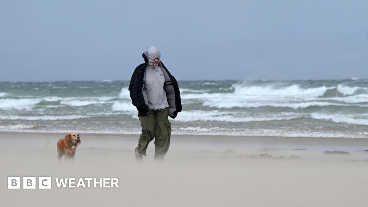
Some travel disruption is likely in the next few days as strengthening winds develop across the United Kingdom.
“Some travel disruption is likely in the next few days as strenghtening winds develop across the United Kingdom”
A deepening area of low pressure between Scotland and Iceland on Wednesday is bringing strong westerly winds, gales and even touching severe gales.
It will turn more widely windy for most of us during Thursday.
Warnings and impacts
On Wednesday a Met Office yellow warning is in force for gusts up to 80mph (130km/h) expected across northern and western Scotland.
The Met Office has a yellow warning in force until 12:00 GMT in western and northern Scotland for gusts to reach 65-70mph (105-110km/h) and a small chance of up to 80mph (130km/h) in some locations.
The strongest winds will initially be felt in the Outer and Inner Hebrides before spreading into northern mainland Scotland and Orkney later on.
There could be some travel disruption such as cancelled ferries, flight delays and bridge restrictions for high-sided vehicles.
While Wednesday will be a dry and bright day for most of the UK, there will be some frequent showers across Scotland.
Thursday and weekend winds
By Thursday the strongest winds across western Scotland will have eased but it will turn windy quite widely across the UK.
“Some travel disruption is likely in the next few days as strenghtening winds develop across the United Kingdom”
Gusts of 40-50mph (65-80km/h) will be seen widely, up to 60mph (97km/h) around western coasts of England and Wales and 65mph (105km/h) in northern and western Scotland.
We then need to keep an eye on the forecast for the weekend.
Another deep area of low pressure will pass to the south of Iceland with strong winds on its southern flank across the UK.
Friday wintry outlook
On Friday a northwesterly wind will start to drag in some colder air from the Arctic region.
Temperatures will therefore fall to around three or four degrees below average and with strong winds, it will perhaps make it feel much colder.
Fast-moving hail showers are possible almost anywhere and brief flurries of wet snow are not out of the question, even in the south.
However, snow is unlikely to settle there.
Most of any accumulating snow is only really likely on the mountains and higher ground of Scotland, Northern Ireland and northern England.
Some could also be possible in Wales and south-west England.
There is the possibility of further wintry showers in the forecast for Sunday.
More on Britain

DoJ Releases Photos of Former Prince Andrew, Peter Mandelson in Bathrobes With Jeffrey Epstein
13 sources compared

DOJ Releases First Known Photo Showing Andrew Mountbatten-Windsor and Peter Mandelson With Jeffrey Epstein
17 sources compared

Jonathan Powell Warned Prime Minister Keir Starmer About Mandelson’s Ties To Jeffrey Epstein, Documents Show
16 sources compared

Prime Minister Keir Starmer Ignored Warnings and Appointed Epstein Pal Peter Mandelson as U.S. Ambassador
50 sources compared