
Winter Storm Slams Central New York Tuesday With Snow, Sleet and Freezing Rain
Central New York storm forecast
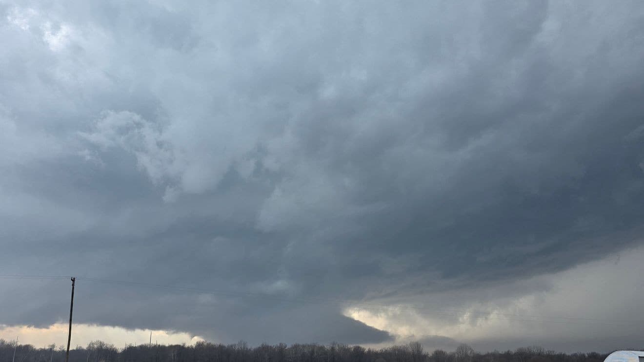
A complex winter storm is expected to arrive in Central New York on Tuesday, bringing a mix of precipitation types that will include freezing drizzle, snow, sleet and rain as precipitation spreads northward across the region.
“Central New York will see dry but cold conditions on Monday before a complex winter storm arrives Tuesday, bringing a messy mix of snow, sleet, freezing rain and rain across the region”
Syracuse's forecast frames the event as a 'messy mix' that will affect much of the area beginning Tuesday and changing through the day.
Central New York weather
Before the storm, Central New York will remain cold but dry on Monday with sunny skies and daytime temperatures only in the mid-to-upper 20s.
Overnight lows will fall into the teens and low 20s, with single digits possible in Tug Hill.
The forecast highlights this brief cold period immediately ahead of Tuesday’s precipitation, which will arrive as surface temperatures hover near freezing in many locations.
Icing east of I-81
Icing potential is concentrated in higher elevations east of I-81, where the combination of near‑freezing surface temperatures and precipitation types creates the greatest risk for glaze, even though forecasters expect overall ice accumulations to be minimal.
“Central New York will see dry but cold conditions on Monday before a complex winter storm arrives Tuesday, bringing a messy mix of snow, sleet, freezing rain and rain across the region”
The forecast therefore emphasizes localized icing threats rather than widespread heavy ice.
Short-lived snow forecast
Snow impacts are expected to be limited and short‑lived in many areas.
Morning snow is likely to change over to rain and melt quickly, though some localized pockets—specifically parts of northern Oneida County—could see localized snow totals that exceed an inch.
Forecasters note an overall quick transition toward warmer conditions that will reduce long‑lasting snow accumulations.
Storm forecast and bulletin
The forecast timeline calls for the storm system to exit by Wednesday morning.
“Central New York will see dry but cold conditions on Monday before a complex winter storm arrives Tuesday, bringing a messy mix of snow, sleet, freezing rain and rain across the region”
A warming trend is expected afterward, with at least a day of dry conditions.
Forecasters warn that a late-week warm front and a possibly stalling cold front may produce additional rain chances and rapid snowmelt, prompting the NWS to monitor for ice jams and minor flooding.
The bulletin also notes that the article production used AI tools and was reviewed by staff.
Key Takeaways
- Storm arrives Tuesday, bringing snow, sleet, freezing rain and rain across Central New York
- Monday will be sunny and cold, with highs in the mid-to-upper 20s
- Clear Monday night skies will drop temperatures into the teens and low 20s
More on USA

Trump Forms 17-Nation Coalition, Offers US Missile Strikes to Wage War on Cartels
16 sources compared

President Donald Trump Joins Families as Six U.S. Soldiers' Remains Return
10 sources compared

Trump Convenes Latin Leaders at 'Shield of the Americas' Summit, Names Kristi Noem Special Envoy
21 sources compared
Tornado Rips Through Southwest Michigan; Some Reports Say Four Dead, Others Say Six
27 sources compared