
Russia Moves Cosmos 2610-2614 Satellites to Shadow ICEYE-X36 Radar Satellite
Key Takeaways
- Russian satellites moved into co-planar orbits with ICEYE's Finnish SAR satellite.
- Moves raise concerns about Russia threatening the ICEYE satellite and its Ukraine-related support.
- Analysts assess implications of Moscow's orbital maneuvers.
Co-planar maneuvers
Integrity ISR analysis says Russia moved five of its newest military satellites into orbits that closely shadow the Finnish-American radar imaging spacecraft ICEYE-X36, with the plane change maneuvers executed between May 14 and May 20.
“At least four Russian military satellites changed their orbits to match that of a Finnish-American radar surveillance satellite in the last week, raising questions about Russia’s intentions amid an ever-expanding standoff high above Earth”
The National Law Review reports that five of six recently launched Russian Cosmos satellites—Cosmos 2610, 2611, 2612, 2613, 2614—raised their orbital inclination from 97.0° to 97.8° to match ICEYE-X36, and that Integrity ISR estimates the maneuver cost each satellite roughly 105 to 106 meters per second of delta-v.

The same analysis says the Cosmos satellites are now orbiting at approximately 547 kilometers, within 2.5 kilometers of ICEYE-X36's altitude, with eccentricities between .001 and .002 and cross-track separation ranging from 0.5 to 22 kilometers.
Integrity ISR analyst Greg Gillinger said, "Plane matching is the first and most fuel-expensive step toward conducting Rendezvous and Proximity Operations," and Ars Technica similarly described the maneuvers as raising questions about Russia’s intentions amid an ever-expanding standoff high above Earth.
Ars Technica adds that the Russian satellites designated Kosmos 2610 through 2613 launched together on April 16 on a Soyuz-2.1b rocket from Plesetsk Cosmodrome in northern Russia, and that the upshot is that they are positioned to routinely pass near ICEYE-X36.
Ukraine imagery and access
A separate account of satellite observation in Ukraine describes how, on March 3, 2025, Donald Trump suspended military aid to Ukraine and that the decision also cut off the flow of intelligence and essential information for Ukrainian defense.
The Local Western article says that at the request of the US administration, Ukraine no longer had access to the commercial high-resolution satellite imagery purchased by the National Geospatial-Intelligence Agency (NGA) from Maxar and made available on a specialized exchange platform.
%2Fimage%252F1484016%252F20250316%252Fob_7cf92f_maxar-ukraine-marioupol-theatre.jpg&w=3840&q=75)
It quotes an NGA spokesperson saying, "In accordance with the Administration’s directive on support to Ukraine, NGA has temporarily suspended access to the Global Enhanced GEOINT Delivery system, or GEGD," and it adds that access was restored after an agreement found between the United States and Ukraine on March 11 in Jeddah in Saudi Arabia.
The same article frames the issue through a "shutter control" concept, describing two ways it can be implemented, including that imaging over a particular area is forbidden so the satellite is blind.
It also notes that the Electro-Optical Commercial Layer (EOCL) contract awarded by the NRO in 2022 runs for a duration of ten years, with a five-year base contract and five-year extension, and that the GEGD portal provides authorized users with images acquired by Maxar satellites or, since November 2020, by satellites of other commercial companies like Planet, BlackSky, Capella Space or Iceye.
European SAR demand
While the Russian orbital activity centers on ICEYE-X36, other reporting highlights how European militaries are building SAR capacity to avoid weather limits that affect optical observation.
“The Mariupol theater as seen by a Maxar satellite on March 29, 2022, after the Russian bombardment”
Zone Militaire says Poland ordered three satellites equipped with a synthetic aperture radar from the Finnish ICEYE under the MikroSAR program, with the value of this order "about 200 million euros" and an option for three additional units.
It reports that the Polish Ministry of Defense notified ICEYE of a contract for the delivery of three SAR-type satellites and a ground station, and that ICEYE said it would partner with local industry to provide the Polish Armed Forces with a mobile ISR platform enabling mission execution, data download and near-real-time analysis.
The same source quotes Polish Defense Minister Wladyslaw Kosiniak-Kamysz justifying the contract by saying, "On NATO's eastern flank, no one has such capabilities," and it adds that he said space imaging was a guarantee of effectiveness "as shown by the situation in Ukraine."
Ars Technica, meanwhile, describes ICEYE-X36 as part of a fleet providing all-weather overhead radar images to the US military and European governments, and it notes that ICEYE also provides imagery to Ukraine’s military in its fight against Russia.
More on Technology and Science

12-Year-Old Fabiana Blanco Rescued After 32 Hours Trapped Under Venezuela Earthquake Rubble
22 sources compared
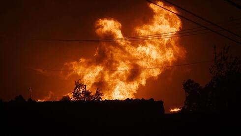
Wildfire Forces 10,000 Evacuations in Southern France Near Spanish Border
13 sources compared
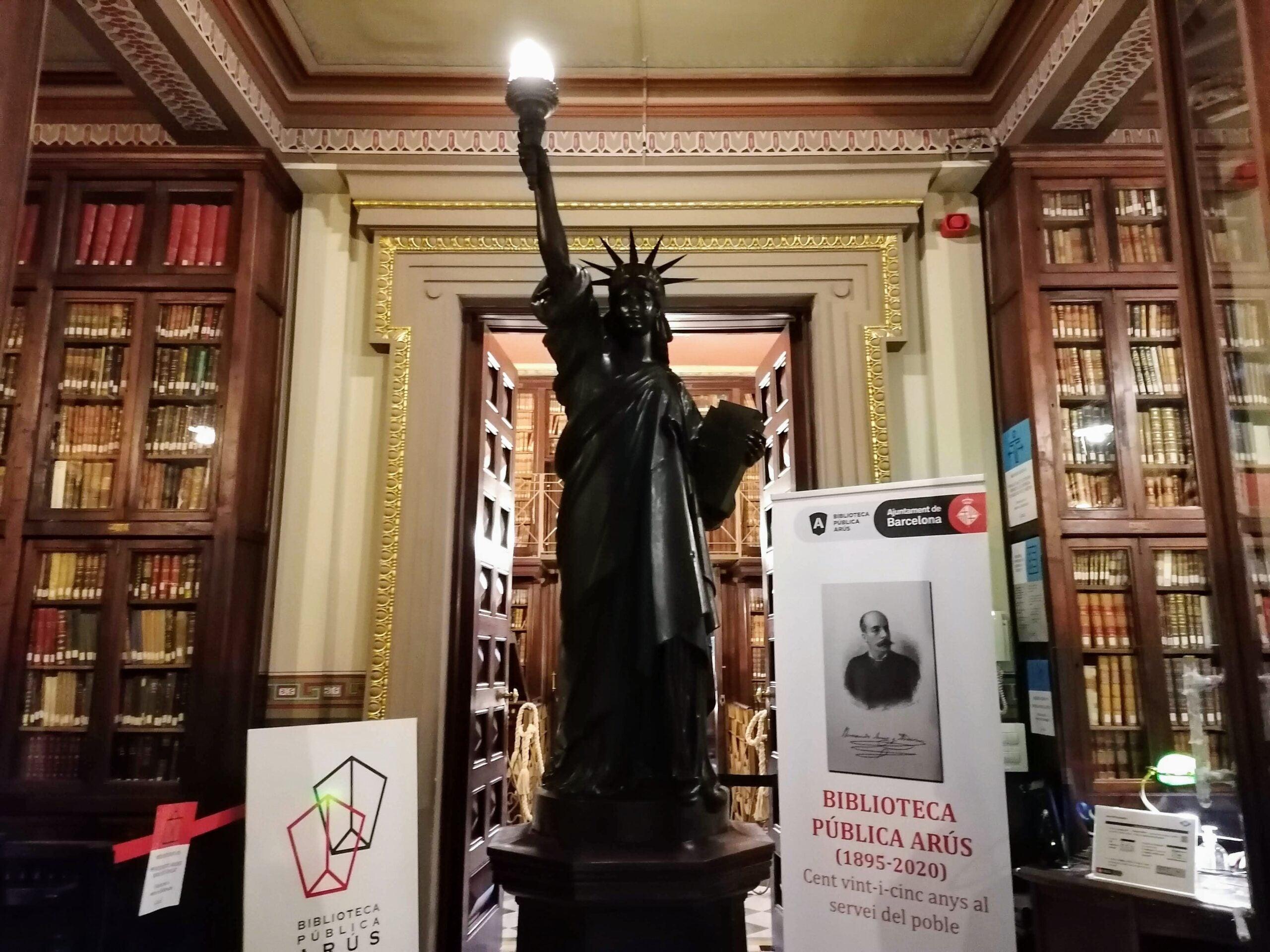
Storm Winds Topple Statue of Liberty Replica in Guaíba, Brazil
10 sources compared
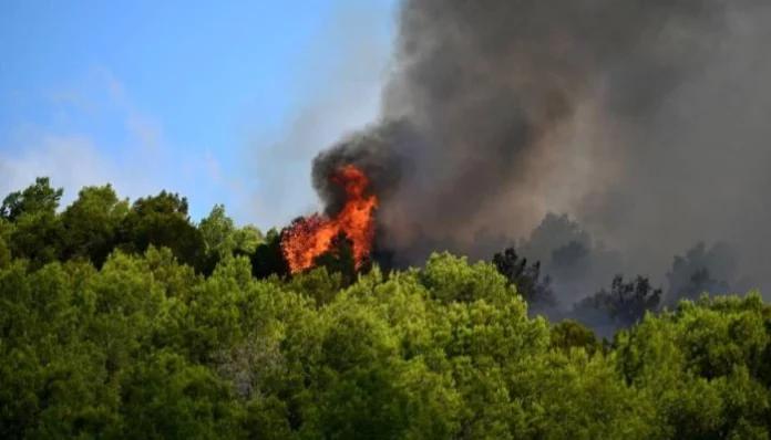
Wildfire Forces Evacuation Of 10,000 People In Southwestern France Near Perpignan
13 sources compared