Britain17 November, 20252 min read
Arctic Blast Freezes Britain as Met Office Issues Snow and Ice Warnings
This article is an automated aggregation of coverage from news outlets. Our editorials offer in-depth analysis curated by the NewsCord team.
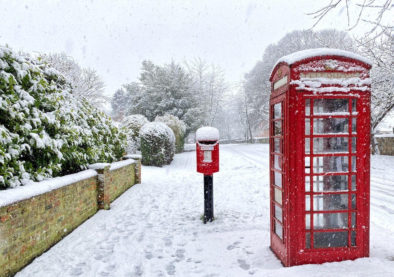
Met Office issued yellow and amber snow and ice warnings across northern UK regions. Arctic air drove sub-zero temperatures, producing the coldest night since March around −7°C.
6 outlets told this the same way.
UK Arctic cold snap
An Arctic air mass has plunged Britain into a sharp cold snap. The Met Office has issued snow and ice warnings across large parts of the UK as wintry showers move inland from Tuesday through Thursday. Temperatures will tumble and wind chill will make it feel even colder.
“The Met Office has multiple yellow snow and ice warnings this week.”
Local and national outlets report this as the season's first major cold spell following recent unsettled weather. Forecasters warn of sub-zero conditions and the potential for significant disruption.
Regional snowfall forecast
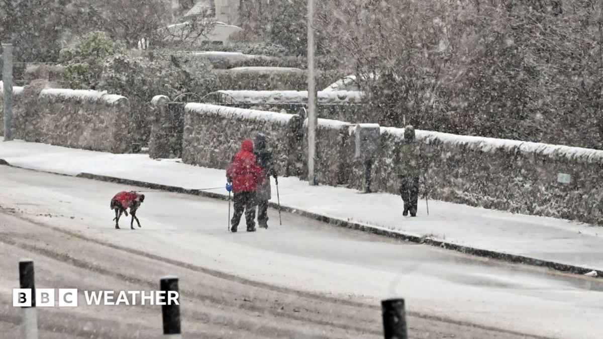
Forecasters outline differing regional snowfall totals. Low-lying northern and eastern areas are generally expected to see around 2–5 cm of snow. Hills, particularly in Northern Ireland, northeast England and Scotland, could receive 5–10 cm.
Above 300 m, some places may get up to 15–20 cm. The BBC provides a detailed breakdown of timing and amounts, including up to 20 cm on higher ground and locally very cold rural lows.
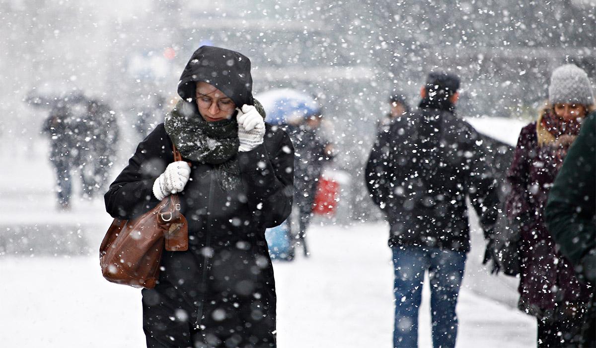
Yourweather.co.uk and Manchester Evening News give similar low-level and hill figures. Extra.ie singles out Scotland for the heaviest snow and highlights an early weekend low of -7°C recorded at Tulloch Bridge.
Forecast timing and hazards
Timing and the nature of hazards vary across reports. The BBC gives precise warning windows and highlights key periods such as Tuesday 03:00–18:00 GMT for northern and eastern Scotland, and warns that Wednesday–Thursday could be the coldest and most impactful period, including possible thundersnow. Manchester Evening News signals Wednesday–Friday as likely the coldest period, with wintry showers moving inland from late Tuesday.
“Tuesday 03:00–18:00 GMT: snow for northern and eastern Scotland (2–5 cm at low levels, 5–10 cm above ~400 m) and ice hazards.”
Yourweather.co.uk notes a progression from Monday night rain and hill snow into showery conditions on Tuesday. Extra.ie focuses on the onset from the north and local town dustings mid‑week, and reports that formal Met Office warnings were not yet in place in its piece.
Travel and infrastructure impacts
Authorities and analysts warn of impacts on travel, infrastructure and public services, listing likely travel delays, stranded vehicles, rail and bus cancellations, road closures, untreated pavements becoming impassable and a heightened risk of slips and falls. The Manchester Evening News and the BBC explicitly warn of possible power cuts and service disruptions and say some rural communities could become cut off.
Extra.ie and the BBC highlight road hazards from freezing wet roads and fallen leaves, with the RAC warning of increased breakdowns. Yourweather.co.uk adds that travel and health hazards from frost, ice and snow are likely where warnings apply.

Cold-weather health alerts
The UK Health Security Agency has issued amber cold‑health alerts for the North West, North East and Yorkshire and Humber, and yellow alerts across parts of the Midlands and other regions. Agencies warn the cold weather increases risks to vulnerable people and will add extra pressure to health and social care services.
“The UK Health Security Agency has issued cold-health alerts across England, including amber alerts for the North West, North East and Yorkshire and The Humber.”
The BBC says the cold raises the risk of excess deaths, particularly among over‑65s and those with existing health conditions, and Manchester Evening News and Yourweather.co.uk also report the amber alerts for northern England. Extra.ie reports a cold‑weather warning for the Midlands, North West and North East until Friday morning and highlights Ireland’s exposure to sleet, hail and sharp frosts as the airmass moves in.
