Israeli Forces Seize About 1,000 Square Kilometers in Gaza, Lebanon, and Syria
Key Takeaways
- Israel occupies about 1,000 square kilometers across Gaza, Lebanon, and Syria since Oct 7, 2023.
- Expansion described as Netanyahu's 'more aggressive' doctrine.
- Reports show gaps between declared lines and actual deployments.
Maps, buffers, and seizure
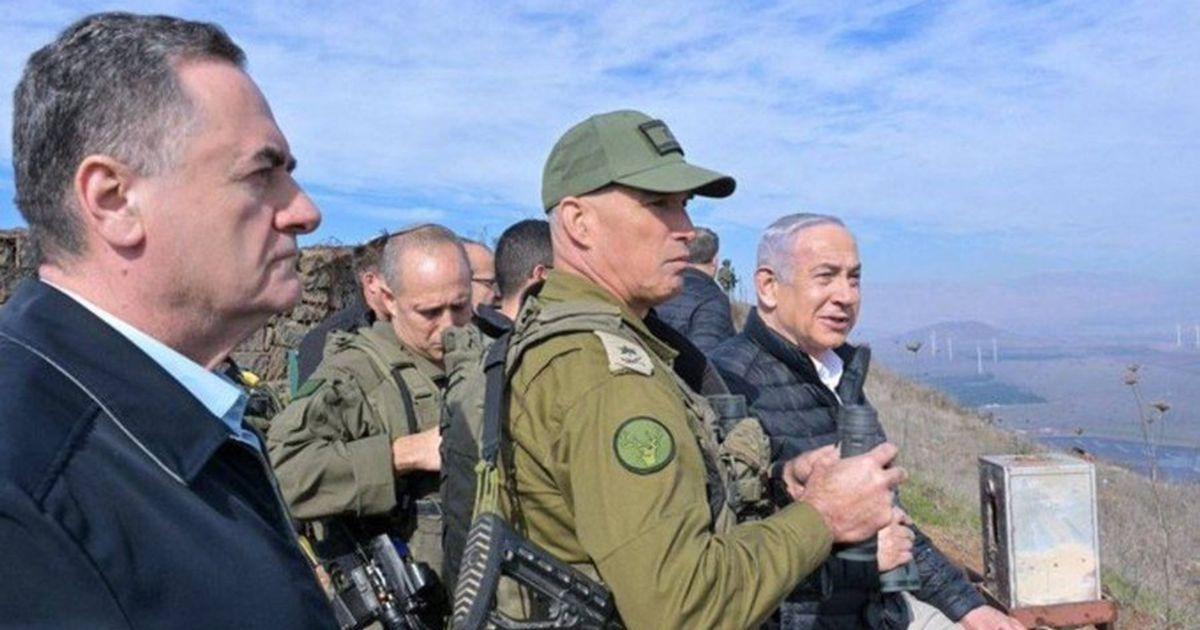
Since the October 7, 2023 attacks, Israeli forces have seized about 1,000 square kilometers of land in Gaza, Lebanon, and Syria, a figure the Financial Times estimated and that multiple outlets cite as reflecting a new doctrine under Prime Minister Benjamin Netanyahu.
“Since October 7, 2023, Israeli military control maps in its surrounding areas are no longer merely lines announced in official statements or drawn on military maps”
The Financial Times calculations described that the areas under Israeli control amount to about 5% of Israel's 1949 borders, with more than half of that area in southern Lebanon where Israeli forces penetrated up to 12 kilometers to establish what officials call a 'security zone.'

In Gaza, the occupation has tightened control beyond the 'yellow line' separating areas, with a UN official saying the depth of the extra zone ranges between 50 and 100 meters, leaving two million Palestinians living in about 40% of the enclave's prewar area.
In Syria, Israeli forces exploited instability to position themselves inside the country, with the Financial Times estimating Israeli sites inside Syria cover an area of about 233 square kilometers extending from Mount Hermon northward to military points that had been abandoned previously in the south.
Statements and competing claims
Netanyahu framed the buffer zone in Gaza as a deterrent, saying last month: 'This buffer zone completely removes the danger of direct invasion and anti-tank fire,' and adding, 'They wanted to encircle us with a ring of fire; we created a ring of security.'
At the same time, the Financial Times account cited diplomats and regional officials warning that the military arrangements could become a permanent reality, especially amid ongoing operations and the lack of clear political agreements.
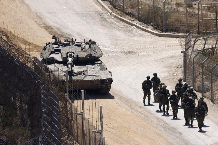
In southern Lebanon, the same reporting said Israel continued its strikes and ordered residents north of its troop positions, while Defense Minister Israel Katz pledged to enforce control up to the Litani River.
In Syria, the Financial Times said the Israeli army declined to comment on its calculations, but affirmed its forces 'are deployed in border-adjacent areas and across various operational theaters' and 'are deployed in accordance with political leadership directives and ongoing operational assessments.'
What comes next
The Al Jazeera Open Source Intelligence investigation said it tracked three theaters where new borders for Israeli military presence have formed—Gaza, southern Lebanon, and southern Syria—using official maps, satellite imagery, GIS calculations, and ACLED data to test what the ground reveals.
“Analyses / Middle East / North Africa March 21, 2025 In Lebanon and Syria, Israel pushes its strategic advantage beyond its border As the Middle East undergoes a geopolitical reconfiguration in the wake of the Hamas attack on October 7, 2023, the strategies of regional powers have been profoundly disrupted”
In Gaza, Al Jazeera described the 'Yellow Line' as appearing on ceasefire agreement maps as the limit of Israeli control within the Strip, designated by yellow concrete markers on the ground, but said the markers exceeded the declared boundary in several areas by hundreds of metres.
The investigation reported that on November 20, the Government Media Office in Gaza announced that Israeli forces advanced into the eastern areas of Gaza City and moved the yellow markers westwards, expanding their area of control by approximately 300 metres (984 feet).
In southern Lebanon, Al Jazeera said official maps published by the Israeli military following a ceasefire agreement signed on April 17, 2026 put the area of zones under Israeli military control at about 570sq km (220sq miles), and that satellite imagery review between April 24 and May 19, 2026 found demolition traces outside the declared borders.
More on Gaza Genocide

Israel Strikes Gaza, Kills Hamas Military Chief Mohammed Odeh, Netanyahu Says
16 sources compared

Ireland Plans Mid-July Goods Ban on Israeli Settlements in the Occupied West Bank
12 sources compared

Israel Expropriates 110 Dunams Near Nabi Samuel Mosque, Palestinians Condemn Judaization Campaign
10 sources compared

Israeli Air Strike Kills Three, Including Six-Month-Old, In Nuseirat Refugee Camp
10 sources compared