
Tornadoes Damage Homes In Marion And Flip A Semi-Tractor Near Elgin, Minnesota
Key Takeaways
- Tornado outbreak caused extensive damage across multiple Midwest states.
- Severe weather threats included large hail, damaging winds, and flash flooding.
- Storm system posed ongoing tornado risk into weekend across the Midwest.
Midwest tornado threat escalates
A new round of severe weather is set to disrupt travel and daily plans across the central U.S., with tornado risk and flooding threats described as intensifying across multiple states.
The Weather Channel said one more day of severe weather is ahead on Saturday in the eastern Great Lakes after an “very active day across the Plains and Midwest,” with “several tornadoes already confirmed in the Midwest.”

The Weather Channel also reported that “A tornado flipped a semi-tractor near Elgin, Minnesota,” and that another tornado “damaged homes in Marion, Minnesota, in the Rochester area.”
NBC News said the Storm Prediction Center (SPC) “put 38 million people from North Texas to Michigan at risk for severe weather on Friday,” and CBS News said “More than 51 million people are under the threat of severe weather from Texas to Wisconsin.”
FOX Weather described the scale of the outbreak as “Over 50 million people across a 1,000-mile stretch of the central U.S.” and said the storms generated “monster” hail and “hurricane-force wind gusts.”
Across the same broad region, CBS News said the “Upper Mississippi Valley — spanning parts of Illinois, Iowa, Minnesota, Wisconsin — will have 'the best chance for strong tornadoes,'” while other areas face hail and wind threats.
What drives the outbreak
The severe weather pattern described by forecasters centers on how large-scale atmospheric features interact to produce instability and repeated storm impacts.
The Weather Channel explained that “What is going on here is actually pretty interesting,” pointing to “a high-pressure system that is sitting across the eastern U.S.” that “is forcing Gulf moisture to be pushed northward across the Plains.”

It also described “southward plunges of the jet stream, or troughs, pivoting out of the West into the Central Plains,” adding that “Troughs like this generally bring severe weather.”
The Weather Channel said the high-pressure system and jet-stream troughs mean “severe weather may hit many of the same areas for days,” rather than being a one-off event.
Travelandtourworld attributed the outbreak to “a powerful atmospheric collision of warm, moist air from the Gulf and cold, dry air from the north,” which “creating instability,” and said that instability “fuels intense thunderstorms capable of producing tornadoes, hail and destructive winds.”
Univision similarly framed the week as a low-pressure-driven setup, saying “A low-pressure system will affect much of the United States this week,” bringing “severe storms, hail, strong winds, and even tornadoes.”
Confirmed tornadoes, hail, and wind
The reports describe tornadoes and damaging hail already occurring in the region, with specific locations and impacts cited by multiple outlets.
“Over 50 million people across a 1,000-mile stretch of the central U”
The Weather Channel said “Multiple tornadoes have already been confirmed,” including a tornado that “flipped a semi-tractor near Elgin, Minnesota,” and another that “damaged homes in Marion, Minnesota, in the Rochester area.”
It also reported hail measurements, stating “quarter size hail reported in Kasota and New Ulm” and that “Tennis ball size hail fell this afternoon near Tama, Iowa, or between Des Moines and Cedar Rapids.”
FOX Weather described “Cities and towns in Missouri, Illinois, Wisconsin and Minnesota” confirming “structural damage to homes and buildings, as well as downed trees and power lines,” and said the National Weather Service confirmed “at least 20 tornado reports across several states.”
NBC News said “As of Friday evening, there were reports of tornadoes in Lena, and near Rockton, Illinois, and near Rochester, Minnesota,” and it included a local warning from the Stephenson County Sheriff's Office: “There is no way to get into town due to trees and wires down.”
CBS News added that some twisters were described as “large and 'extremely dangerous,'” and it cited damaging winds reaching “up to 70 mph” in parts of the region.
Flooding and cleanup under pressure
Flooding risk is presented as a continuing secondary threat, with multiple outlets describing major flood stages and ongoing impacts on roads and communities.
The Weather Channel said “Flooding is also possible as far south as Missouri due to heavy rain that will come with Friday's squall line,” and it warned that “Some stretches of rivers in Michigan and Wisconsin are either in or forecast to crest in major flood stage.”

It also stated that “Flood watches and flood warnings continue for the areas below,” and said the forecast expects “a swath from eastern Kansas and northern Oklahoma to the Southern Great Lakes to pick up another 1-inch-plus of rainfall through Saturday.”
CBS News described record flooding in Michigan, saying “Gov. Gretchen Whitmer has declared a state of emergency for 33 counties,” and quoted her: “We are in crisis mode now” and “Recovery mode will take additional work.”
NBC News said “Floodwaters reached record levels in the state Wednesday, leaving drivers stranded on inundated highways in Milwaukee,” and it quoted Milwaukee Mayor Cavalier Johnson calling the storm “an overwhelming force of nature.”
The Weather Channel added specific infrastructure impacts, saying “Flooding washed out a section of M-119, the 'Tunnel of Trees' scenic highway north of Petoskey, Michigan,” and that the Manistee River near Sherman, Michigan “already obliterated its previous record crest by over 2 feet.”
Different forecasts, different emphasis
While the core threat—tornadoes, damaging winds, hail, and flooding—appears across the coverage, the outlets emphasize different aspects of timing, scale, and official messaging.
NBC News foregrounded the Storm Prediction Center risk framing, saying “The Storm Prediction Center (SPC), put 38 million people from North Texas to Michigan at risk for severe weather on Friday,” and it highlighted the “greatest tornado risk” concentrated in “Iowa, Wisconsin and northern Illinois.”
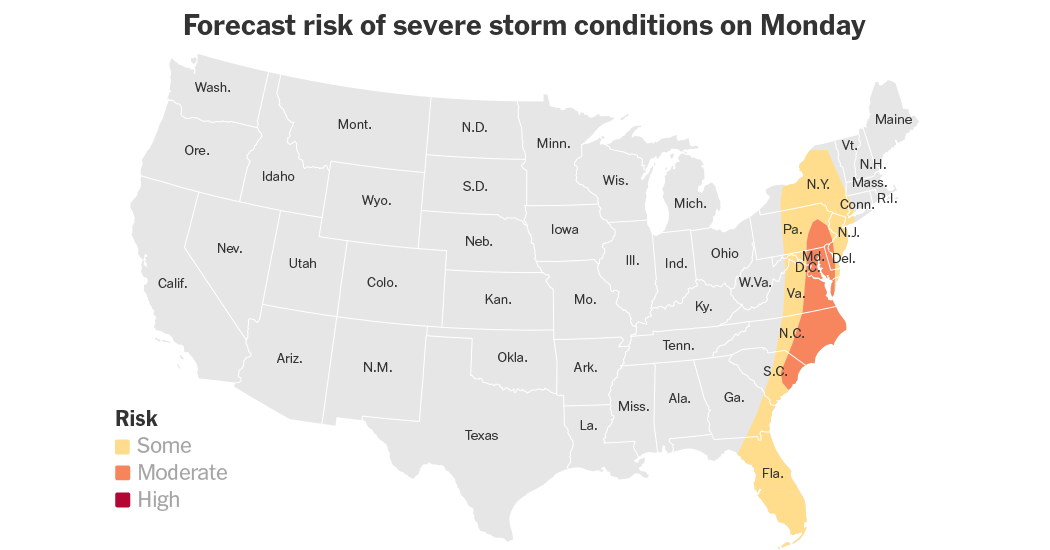
CBS News instead emphasized the breadth of the threat and the forecast window, stating “More than 51 million people are under the threat of severe weather from Texas to Wisconsin,” and describing that storms will occur “in the afternoon and evening hours.”
The Weather Channel focused on the transition into the weekend, saying “Damaging winds will be the main threat as we move into the weekend,” and it projected “at least a three-day break from severe weather as the cold front sweeps off the East Coast Sunday.”
FOX Weather emphasized the scale of the damage and the number of tornado reports, describing “Over 50 million people across a 1,000-mile stretch of the central U.S.” and saying the NWS confirmed “at least 20 tornado reports across several states.”
Univision, meanwhile, tied its warning to a specific briefing time and a Monday peak, quoting “the 2:30 p.m. ET NWS briefing” and saying “The severe weather threat will peak Monday afternoon and night in the upper Midwest.”
What comes next
Looking ahead, the reporting stresses that severe conditions are expected to continue across the central U.S. and that the most dangerous periods may occur at night or during specific peak windows.
The Weather Channel said strong to severe thunderstorms are possible “from the Southern Great Lakes to the Ozarks overnight,” with the threat likely to transition into “one or more squall lines of severe thunderstorms with damaging winds and embedded tornadoes.”
It also warned that “The threat is likely to transition into one or more squall lines,” and that winds are “capable of knocking down trees, possibly onto homes and vehicles, and power outages.”
Univision warned that “The public should be prepared for strong tornadoes at night,” and it quoted AccuWeather meteorologist Elizabeth Danco saying, “This will pose a serious risk, particularly for those that develop after dusk, when they are harder to detect and harder to prepare for.”
Travelandtourworld asserted that “Friday stands out as the most dangerous phase due to peak atmospheric energy and alignment of storm systems,” and it said storms are expected to intensify “into the evening and overnight hours.”
In parallel with tornado and wind risks, the Weather Channel emphasized that flooding is already active and expected to persist, noting that “Flooding is also possible as far south as Missouri” and that “Some stretches of rivers in Michigan and Wisconsin are either in or forecast to crest in major flood stage.”
More on Technology and Science
Typhoon Bavi Makes Landfall in Zhejiang, China as Authorities Evacuate 1.7 Million
25 sources compared
Typhoon Bavi Kills At Least 15 in Philippines as It Threatens Taiwan and Japan
19 sources compared
Wildfire Kills At Least 12, Including Four Britons, In Bedar And Los Gallardos, Spain
46 sources compared

OpenAI Sunsets ChatGPT Atlas Browser, Pivots to ChatGPT Desktop App With ChatGPT Work
13 sources compared