Waymo Uses Robotaxis to Detect Potholes and Share Data with Cities via Waze
Key Takeaways
- Waymo and Waze launched a pothole data-sharing pilot across Waymo-operating cities.
- Robotaxis detect potholes and transmit locations to Waze for city-facing maps.
- The program helps cities fix potholes using real-time data from Waymo cars.
Waymo-Waze Pothole Pilot
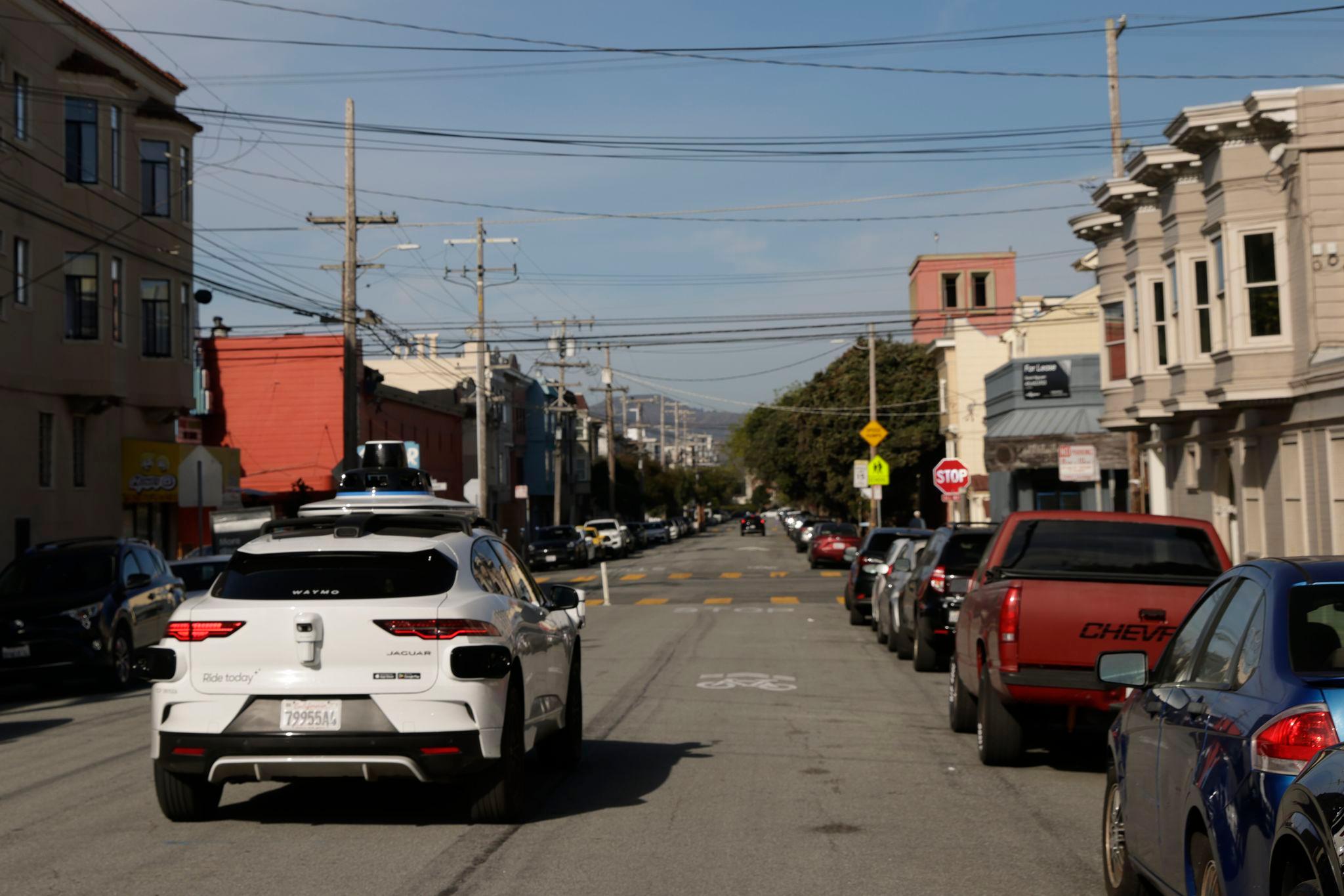
Waymo and Waze launched a data-sharing pilot using robotaxis to detect potholes and share data with cities.
“en EnglishUnited States Deutsch English Español Français Italiano العربية All languages Afrikaans azərbaycan bosanski català Čeština Cymraeg Dansk Deutsch eesti EnglishUnited Kingdom EspañolEspaña EspañolLatinoamérica euskara Filipino FrançaisCanada FrançaisFrance Gaeilge galego Hrvatski Indonesia isiZulu íslenska Italiano Kiswahili latviešu lietuvių magyar Melayu Nederlands norsk o‘zbek polski PortuguêsBrasil PortuguêsPortugal română shqip Slovenčina slovenščina srpski (latinica) Suomi Svenska Tiếng Việt Türkçe Ελληνικά беларуская български кыргызча қазақ тілі македонски монгол Русский српски Українська ქართული հայերեն עברית اردو العربية فارسی አማርኛ नेपाली मराठी हिन्दी অসমীয়া বাংলা ਪੰਜਾਬੀ ગુજરાતી ଓଡ଼ିଆ தமிழ் తెలుగు ಕನ್ನಡ മലയാളം සිංහල ไทย ລາວ မြန်မာ ខ្មែរ 한국어 日本語 简体中文 繁體中文 繁體中文香港 Sign in Sign in”
The pilot covers five initial markets where Waymo says it has flagged about 500 potholes.
Anyone with the Waze app can access the data and help verify locations.
Waymo's vehicles are equipped with cameras, lidar, radar, and other sensors that continuously scan roads.
The initiative aims to help cities close reporting gaps and prioritize maintenance.
Arielle Fleisher said, We realized, hey, once we’re at scale, we can actually share this data with cities.
Technology and Validation
Waymo uses cameras, radar, accelerometers, and physical feedback to log potholes.
Sensors detect physical changes to the road’s surface such as tilt and movement.

The same data surfaces in the consumer Waze app for crowdsourced validation.
Fleisher said, It’s totally automated. It’s from our systems.
The pilot is purely additive and not meant to replace any city functions.
Waymo aims to strengthen relationships with city stakeholders.
Public and Government Reception
The pilot has found favor with local governments.
“Two Alphabet-owned businesses are teaming up to find potholes and share it with cities”
San Jose Mayor Mahan said, We’re always looking for innovative ways to deliver better services.
The data provides a more nuanced picture of road health than 311 calls.
Filling potholes remains the job of public works crews.
The initiative has strategic value for Waymo’s license-to-operate.
Sarah Kaufman said, Waymo is showing the good neighbor principle in action.
More on Technology and Science

Iran-Linked Hackers Leak 19,000 Files From Ex-IDF Chief Herzi Halevi's Phone
12 sources compared

NOAA Predicts Possible Super El Niño With 25% Chance To Hit By Fall
10 sources compared

Colorado State University Predicts Slightly Below-Average 2026 Atlantic Hurricane Season
26 sources compared
US Birth Rate Declines 1 Percent In 2025, Teen Births Hit Historic Low
13 sources compared