
Full story
UN retires Mercator
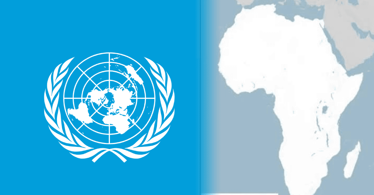
The United Nations General Assembly voted in New York to retire the 16th-century Mercator projection in favor of a map based on the more accurate 2018 Equal Earth design, with 164 countries voting in support and the United States voting no.
“At the session, 164 countries voted in favor of the resolution. Only the US voted no”
The vote came after Togo spearheaded the “Correct the Map” resolution on behalf of the African Union, and the resolution aims to phase out the Mercator projection that “severely distorts landmasses relative to the equator, artificially shrinking Africa while enlarging northern continents.”

The UN resolution was described as non-enforceable, with the outcome expected to drive updates in classroom curriculums and everyday technology because Mercator remains widely used in education, technology and governance.
The debate also included abstentions, with one account saying there were six abstentions and another noting Ukraine’s abstention tied to Crimea being depicted as Russian territory.
In the lead-up to the vote, Togo’s foreign affairs minister Robert Dussey framed the effort as scientific, saying: “This discussion is not a political discussion [but] a scientific discussion, because there is scientific proof so we all have to accept the reality.”
Voices and objections
The African Union Commission, in an official communiqué issued from Addis Ababa on Friday, praised the UN General Assembly decision and said the “Correct the Map” resolution was spearheaded by the Republic of Togo on behalf of the African Group.
AUC Chairperson H.E. Mahmoud Ali Youssouf welcomed the adoption of the resolution and urged global institutions, textbook publishers, digital media platforms, and education systems to adopt realistic map models that “accurately depict the actual proportions of world regions.”
The United States opposed the resolution, with one account quoting the US representative saying the resolution was “superfluous,” while another account said Washington objected to the map’s implications for cartographic representation.
Ukraine’s abstention was linked to concerns about Crimea, with one report saying Ukraine argued the Equal Earth map undermined its territorial integrity by depicting Crimea as Russian territory.
Before the vote, France’s foreign minister spoke in support of the resolution, and Togo’s campaign message emphasized that the Mercator projection’s distortions have lasting effects, including “cognitive, educational, cultural, geopolitical and socioeconomic effects.”
What changes next
Supporters said the shift is expected to change how the world learns and uses maps, because UN resolutions are non-enforceable but the outcome is expected to update classroom curriculums and everyday technology given Mercator’s wide usage.
“Greenland may look similar in size to Africa, although Africa is about 14 times larger”
The resolution’s framing centered on the way Mercator depicts Africa as much smaller than it is, including the example that “Greenland may look similar in size to Africa, although Africa is about 14 times larger.”
Togo said it would revise school geography materials, and one report quoted Dussey saying: “Togo will be the first country to change its geography textbooks... We must change them in the classrooms to set an example for the whole world.”
The Togolese plan also included meeting with African Union member states and supporters from other regions in the coming six months to agree on how to broaden adoption, with discussions expected to include map-making and positioning technologies such as GPS.
The resolution was also described as not challenging Mercator’s use for maritime and air navigation, with the Togolese Ministry of Foreign Affairs stating it was “not legally binding” and does not in any way challenge the use of Mercator for maritime and air navigation.