Britain16 February, 20263 min read
Met Office Issues Yellow Warnings for Snow and Ice Across UK; Scotland Could See Up to 8cm
Met Office issued yellow snow and ice warnings across much of Scotland and England Warnings run from Monday 16 February into Tuesday morning

12 outlets told this the same way.
Outlets did split on UK Police Charge Teddy Young With Spying For Foreign Power, Royal Navy Member →
UK snow, ice and floods
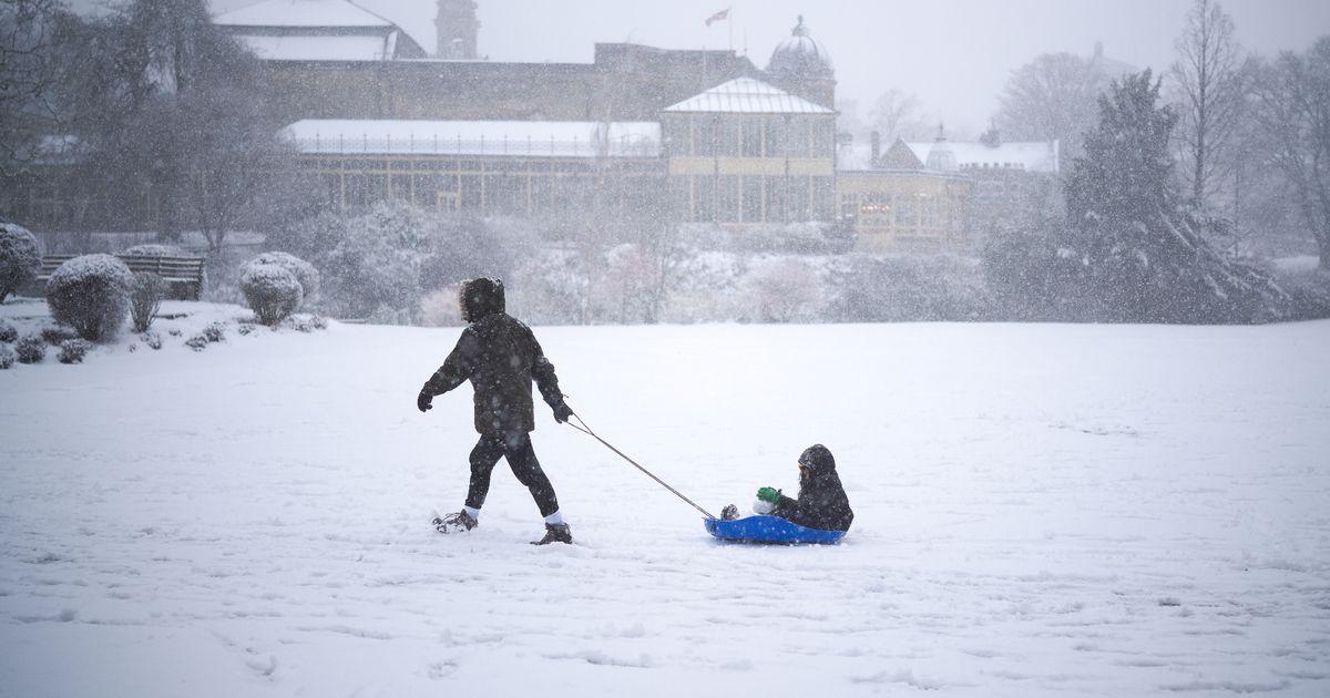
The Met Office has issued multiple yellow warnings for snow and ice across large parts of the UK for Monday evening into Tuesday morning. The warnings are expected to affect much of Scotland and wide swathes of England and Northern Ireland. Hundreds of flood alerts also remain active, according to national and local outlets.
“The Met Office has issued multiple yellow weather warnings across the UK for Monday evening into Tuesday morning (16–17 Feb).”
Jang reports the warnings run across Monday evening into Tuesday morning (16–17 Feb). The Independent says the alerts cover large parts of the UK for Monday night into Tuesday morning. The BBC links the warnings to an Arctic air mass bringing frost and icy surfaces.
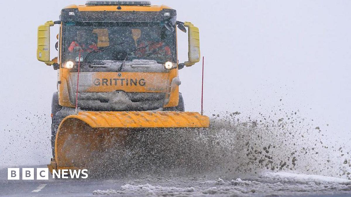
Sky News highlights that hundreds of flood alerts are active alongside the yellow warnings. This is the Coast notes the Environment Agency’s flood cautions alongside the Met Office notices.
Scotland snow outlook
Scotland is repeatedly highlighted as the area most likely to see the heaviest wintry accumulations, generally on higher ground. Some outlets put higher-ground totals at around 5–8 cm, while others give similar estimates in inches for exposed upland areas. The Manchester Evening News says northern Scotland could see 5–8 cm on higher ground and a few centimetres at low levels.
The Independent gives ranges of about 1–2 cm at low levels, 2–5 cm above approximately 150 m, and 5–8 cm above approximately 300 m. The Scottish Sun reports higher ground could see up to three inches. This is the Coast and Sky News both describe patchy accumulations mainly above 150–200 m.
Met Office warning timings
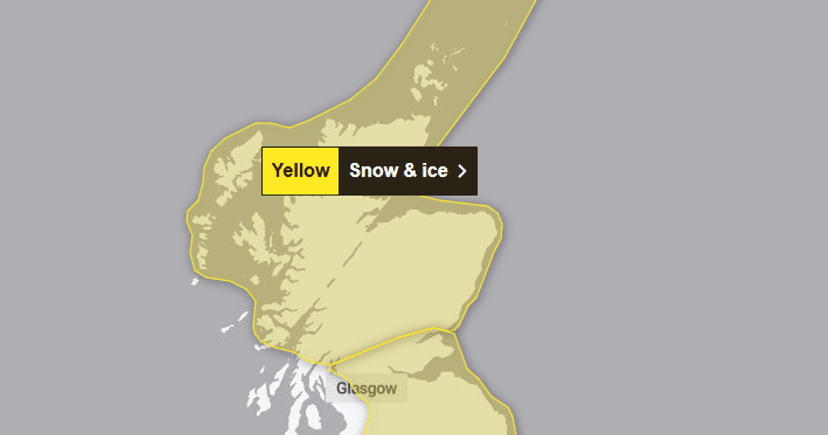
The timing and geographic spread of the Met Office notices are laid out with overlapping but slightly different emphases. Several sources say a Scottish snow-and-ice warning begins at 15:00 on Monday and runs to 10:00 Tuesday. Those sources say a wider ice warning for England and Scotland is phased in from the evening, around 18:00, with Northern Ireland added later that night.
“Scotland has a yellow warning for snow and ice from 3pm Monday to 10am Tuesday covering Central Tayside and Fife, Grampian, the Highlands and Eilean Siar, Orkney and Shetland, and Strathclyde.”
Jang notes a Scotland warning from 3pm Monday to 10am Tuesday. Sky News gives a 3pm Scotland start and a 6pm wider ice warning.
Wandsworth Times specifies a 15:00 Scotland start and an 18:00 ice alert running from Edinburgh to Ipswich, and it says Northern Ireland receives a warning two hours later. The Independent lists multiple region-specific ice warnings with their own windows.
Icy conditions and hazards
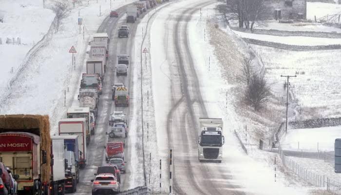
Forecasters and the Environment Agency flag icy surfaces, black ice and possible travel disruption as the main hazards. Some outlets add strong coastal gusts and warn that recent rain may freeze on roads. The Independent and BBC warn temperatures will drop below freezing, that ice is likely on untreated surfaces, and that there may be travel disruption to roads and public transport.
Sky News and This is the Coast emphasise that falling temperatures make icy conditions the greater hazard and warn of slips and falls on untreated paths. The Sun and Manchester Evening News add warnings of gusts up to about 50–60 mph in exposed coastal or northern areas and note the Environment Agency’s flood cautions. Sources differ in emphasis: many stress widespread ice and transport disruption, while others highlight strong coastal gusts and flood cautions.
Midweek UK weather outlook
Outlook through midweek: many sources expect cold but largely drier conditions by Tuesday for much of the UK. There is a continuing risk of icy mornings and a more unsettled pattern returning later in the week that could bring rain, sleet and hill snow. The BBC's forecast says Tuesday will be mostly dry and sunny but cold.
“Tuesday: mostly dry and sunny for many but cold (about 3–6°C) with a brisk northerly wind making it feel closer to freezing. Wednesday: temperatures near freezing across most of the UK in the morning; parts of northern/northeast Scotland could fall to around −8 to −10°C.”
Wednesday morning temperatures may be near freezing across most of the UK, and parts of northern and northeast Scotland could fall to around -8 to -10°C. Manchester Evening News and Sky News flag possible further wintry showers or systems later in the week. The Environment Agency and several outlets advise staying weather-aware because flood alerts persist and further warnings could be issued.