Technology and Science13 October, 20252 min read
Nor’easter Pounds East Coast With Coastal Flooding, Heavy Rain, and Strong Winds
Nor’easter caused widespread coastal flooding and beach erosion from the Carolinas to New England. Strong winds up to 60 mph and heavy rain disrupted travel and caused power outages.
8 outlets told this the same way.
East Coast Nor’easter Impact
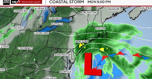
A sprawling nor’easter is pounding the East Coast from the Carolinas to New England, driving coastal flooding, heavy rain, and strong winds. Local officials in New Jersey declared a state of emergency as the storm advanced up the coast. National forecasters describe a multi-day event powered by two coastal lows.
“A nor'easter moved up the East Coast on Sunday, leading New Jersey to declare a state of emergency due to anticipated coastal flooding, strong winds, heavy rain, and high surf.”
Coverage spans major metro areas including Washington, D.C., New York City, and Boston. The D.C. region is under a storm alert, and New York-area utilities are staging extra crews for possible outages. Forecasters expect the main impacts through Monday, with some showers lingering into Tuesday morning before the system weakens or moves offshore.

Coastal Flooding and Erosion Risks
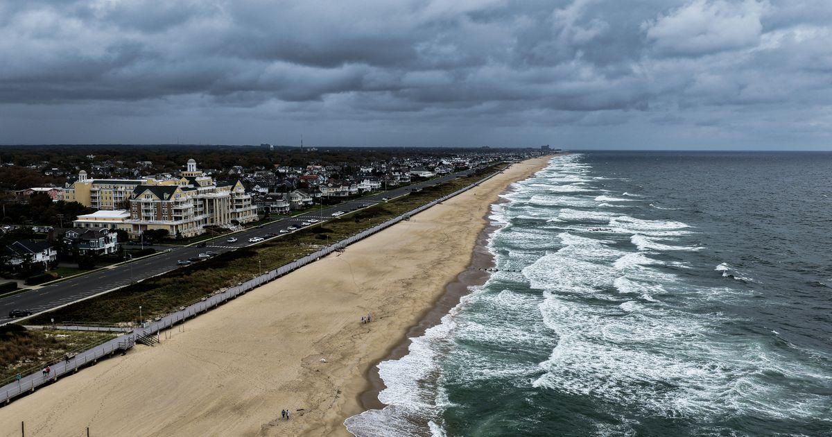
Flooding risk is a central concern, but sources diverge on severity. National outlooks flag significant coastal flooding along broad swaths of shoreline, while some regional reports forecast only minor inundation in parts of Massachusetts. Asian coverage warns that coastal water levels in parts of New Jersey could rival heights not seen since Superstorm Sandy.
A tabloid forecast goes further, suggesting surges up to 6 feet and rough seas to 25 feet—potentially the worst since Sandy—along a narrow coastal corridor. Beach erosion and repeated high‑tide cycles are expected to amplify impacts in southern New England.
Wind and Rain Forecasts
Wind and rain are widespread, but projected intensities vary by source and region. Local reporting in New Jersey cites winds up to 60 mph and as much as 5 inches of rain. Asian and New England outlets generally cluster around 1–3 inches of rain with pockets to 4–6 inches and gusts ranging from the mid‑40s to around 60 mph.
“New Jersey faced coastal flooding, winds up to 60 mph, and up to 5 inches of rain.”
A D.C.-focused forecast highlights lower wind gusts and lesser rain totals compared with the coastal hotspots. A tabloid forecast pushes the envelope with sustained 60 mph winds, gusts to 80 mph, and an extremely broad rainfall range up to 10 inches, far exceeding most mainstream estimates.
Travel Disruptions and Weather Alerts
Travel and coastal operations are being disrupted, with flight delays, road closures, and marine hazards reported or anticipated. Local officials and utilities in the New York area are preparing for outages. National and Asian coverage warns of airport delays from Washington to Boston.
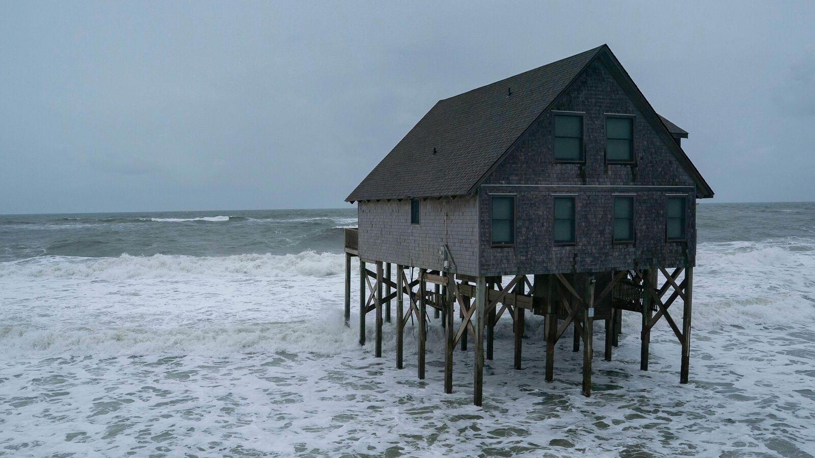
Marine forecasts range from rough seas of 5–10 feet in mainstream outlets to far higher seas in tabloid projections. Advisories and warnings span coastal flood alerts to wind advisories. Outer Banks road closures and significant erosion have already been observed.
Storm Impact and Forecast Timing
Forecast timing differs by outlet, but most expect the core impacts to fade by midweek. Mainstream national guidance places the worst through Monday, with some sources expecting the storm to weaken, move south, or head offshore on Tuesday. Asian coverage of the D.C. area points to clearing by Tuesday afternoon and warmer weather into Wednesday.
“A nor'easter is expected to impact the East Coast through Monday, following several days of heavy rain, strong winds, and significant coastal flooding from the Carolinas to the Northeast.”
New England outlets anticipate the system pulling away by midweek with drier, milder conditions into late week. A tabloid forecast suggests the storm may briefly stall along the coast before departing.
