Britain01 October, 20252 min read
Storm Amy Hits UK with 80mph Winds and Heavy Rain, Met Office Issues Multiple Warnings
Storm Amy will bring gusts up to 80mph across northern and western UK regions. The Met Office issued yellow weather warnings for strong winds and heavy rain from Friday evening to Saturday night.
10 outlets told this the same way.
Outlets did split on UK Police Charge Teddy Young With Spying For Foreign Power, Royal Navy Member →
Storm Amy UK Weather Impact
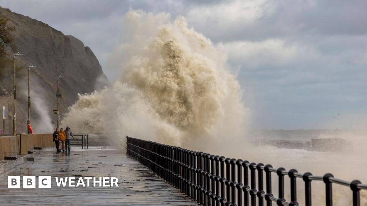
Storm Amy, the first named storm of the 2025/26 season, is set to hit the UK with severe weather conditions. Winds are expected to reach up to 80 mph accompanied by heavy rainfall. The Met Office has issued multiple warnings, highlighting the potential for significant disruptions.
“The Met Office warns that when wind warnings are in effect, strong winds could blow tiles from roofs, cause damage to homes, and lead to delays across road, rail, air, and ferry transport services.”
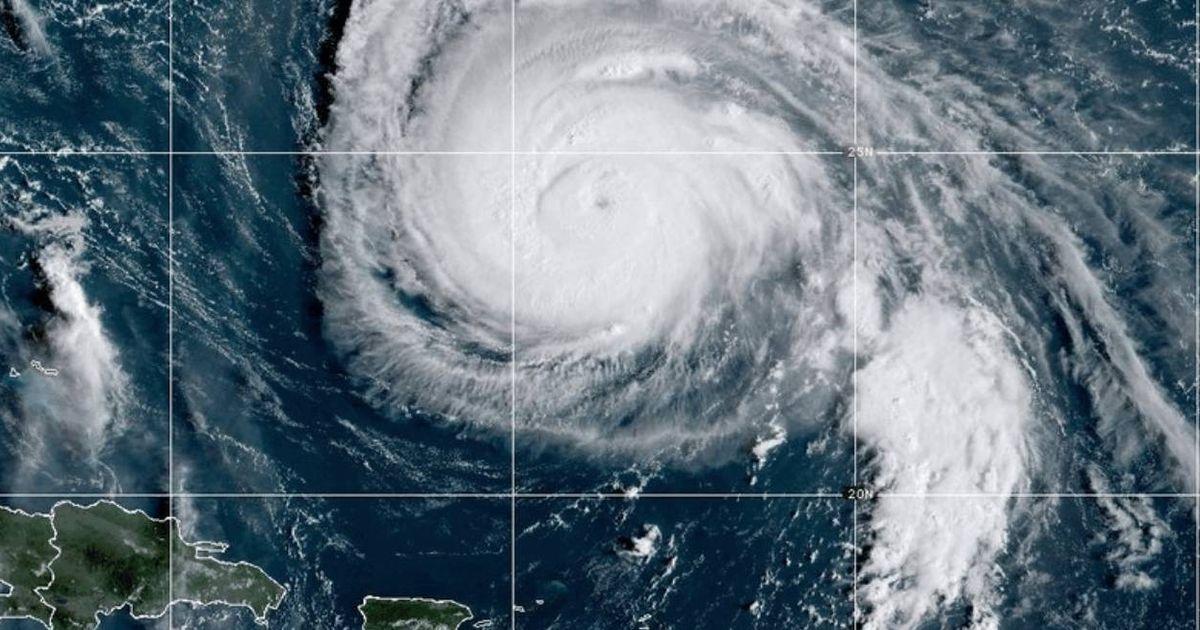
The storm is expected to impact northern and western parts of the UK, particularly Scotland, northwest England, and north Wales. The development of Storm Amy has been influenced by the remnants of Hurricanes Humberto and Imelda, which have intensified the jet stream and contributed to the storm's strength.

Severe Weather Warning
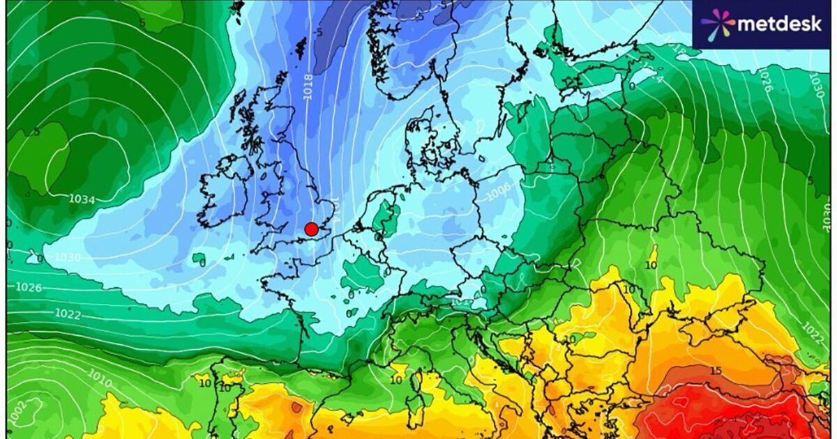
The Met Office has issued a yellow weather warning from Friday evening through Saturday night. Wind gusts of 50-60 mph are predicted, with some areas experiencing gusts up to 80 mph. Heavy rain is also forecast, particularly in western Scotland, where rainfall could reach 30-50mm in a short period.
This raises the risk of flash flooding in the affected areas. Transport Scotland has warned of hazardous travel conditions and advised travelers to check updates before traveling. The storm's path remains somewhat uncertain, but it is expected to move from west to east, affecting various regions.
Storm Travel Disruption Warnings
The storm is expected to cause significant travel disruptions. There are warnings of difficult driving conditions, especially for high-sided vehicles on exposed routes. Transport Scotland has advised travelers to check conditions before traveling, as disruptions to road, ferry, and rail networks are likely.
“Rainfall totals could reach 30-50 mm generally, with 60-80 mm over west-facing mountains from late Wednesday through Thursday night.”
The Met Office has urged the public to stay informed through official forecasts and warnings. The storm's impact is expected to be most severe in northern Scotland and the Northern Isles, where the strongest winds are forecast.
Storm Impact and Precautions
The storm has raised concerns about potential power cuts and building damage due to the high winds and heavy rain. Westmorland and Furness Council has anticipated fallen trees and debris causing road disruptions.
The Met Office has noted some uncertainty about the storm’s exact path, but the public is advised to prepare for possible power outages and to secure loose items around properties. Meteorological agencies have been closely monitoring the storm's development and potential impacts.