Full story
UN backs Equal Earth
The United Nations General Assembly voted on Friday to back a resolution titled “Correct the Map,” aimed at adopting the Equal Earth cartographic projection to correct distortions tied to the centuries-old Mercator projection.
“supported by 164 countries, while the United States voted against it and six other states abstained”
The vote was supported by 164 countries, while the United States voted against it and six other states abstained, according to reporting on the UN decision.
Togo’s Foreign Minister Robert Dussey, who drove the resolution, said maps “guide education, nourish the imagination, and influence collective perceptions,” framing the change as a shift in how Africa is portrayed.
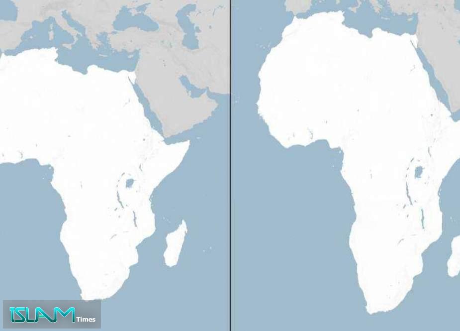
The resolution text backed by the UN urged member states to adopt a map that provides “a more accurate representation” of continental landmasses, and it highlighted that Africa is about 14 times larger than Greenland despite appearing similar in size on Mercator maps.
The African Union welcomed the adoption of the resolution and described it as a “historic step toward an accurate and fair global cartographic representation.”
US objects, France shifts
The UN vote drew sharp opposition from the United States, where a representative said before the vote that the resolution is “the reason this institution is losing its credibility,” and the US objected to what it called a diversion from other priorities.
In contrast, France announced on Friday that it would abandon the Mercator projection, with Foreign Minister Jean-Noel Barrot saying “Changing maps obviously doesn’t change the world,” but “correcting a distorted representation is already an act of truth.”
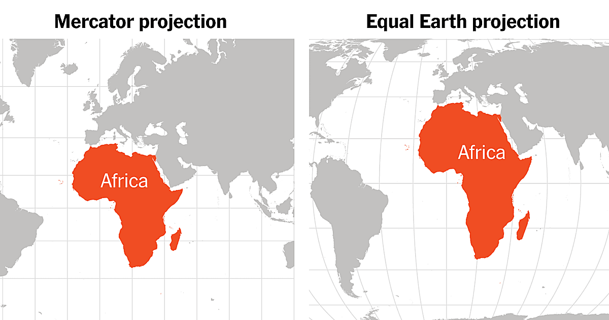
Al Jazeera reported that the resolution urged member states to adopt Equal Earth in place of the traditional Mercator projection, while also noting that the UN did not ban Mercator or impose a replacement.
Reporting also described how the Mercator projection, designed for maritime navigation by Flemish cartographer Gerardus Mercator in 1569, inflates areas farther from the equator and compresses equatorial ones.
The debate was framed as more than technical cartography, with the resolution and its backers linking map portrayals to education and collective perceptions, including how Africa’s perceived size is affected.
Non-binding, but ripple effects
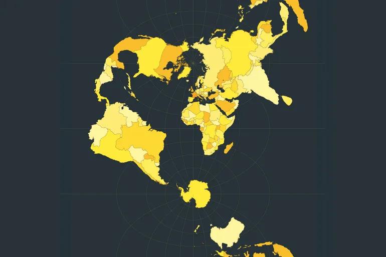
The resolution is non-binding, meaning it does not force immediate changes, but it is intended to encourage governments and institutions to replace the traditional Mercator projection with Equal Earth.
“Togo will be the first country to change its geography textbooks… we must change them in classrooms to set an example for all countries in the world.”
Togolese authorities said they hope to revise school geography materials by year’s end, and Reuters reporting carried Dussey’s pledge that “Togo will be the first country to change its geography textbooks… we must change them in classrooms to set an example for all countries in the world.”
The move also raised questions about digital mapping, because the resolution encourages technology platforms to cooperate with UN member states and regional organizations on adopting more accurate projections.
Al Jazeera reported that the UN said it is not banning Mercator or imposing a replacement, but is “merely encouraging the use of the Equal Earth projection,” leaving open how quickly platforms and institutions will adjust.
The stakes described in the coverage included the resolution’s claim that disproportionate map representations have “left long-lasting cognitive, educational, cultural, geopolitical, social and economic effects,” contributing to a “symbolic minimization” of Africa and other regions.