Canada10 July, 20262 min read
Royal Canadian Geographical Society Finds Shackleton’s Quest Wreck in Labrador Sea at 390 Metres
This article is an automated aggregation of coverage from news outlets. Our editorials offer in-depth analysis curated by the NewsCord team.
Quest wreck lies about 390 meters deep in the Labrador Sea off Newfoundland. Expedition led by Royal Canadian Geographical Society with Woods Hole Oceanographic Institution using Alvin.
Quest found off Labrador
A Royal Canadian Geographical Society expedition located the wreck of Sir Ernest Shackleton’s final ship, Quest, on the seabed in the Labrador Sea, with the site found at 390 metres deep using high-resolution sonar images. The discovery follows the ship’s sinking on 5 May 1962, after Quest was damaged in the Labrador Sea when water penetrated and the vessel went down. The mission was led by RCGS CEO and expedition leader John Geiger, who said, "Con la scoperta della "Quest" si chiude uno degli ultimi capitoli della straordinaria storia di Sir Ernest Shackleton".
Geiger also said, "La tragica ironia è che la sua morte è stata l'unica avvenuta su una delle navi sotto il suo diretto comando". The wreck’s discovery was enabled by a sonar system and a return plan that includes a detailed investigation using an underwater robot subacqueo.
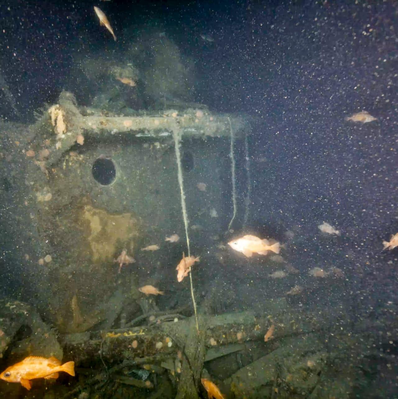
First close-up images
Researchers released the first images of Quest after remotely operated vehicles captured views of the wreck around 1,280 feet deep in the Labrador Sea.
The project involved WHOI’s Falcon ROV and the manned DSV Alvin, which traveled to examine Quest’s current state, while Alvin’s pilot Bruce Strickrott described the dive as a “moving experience.”
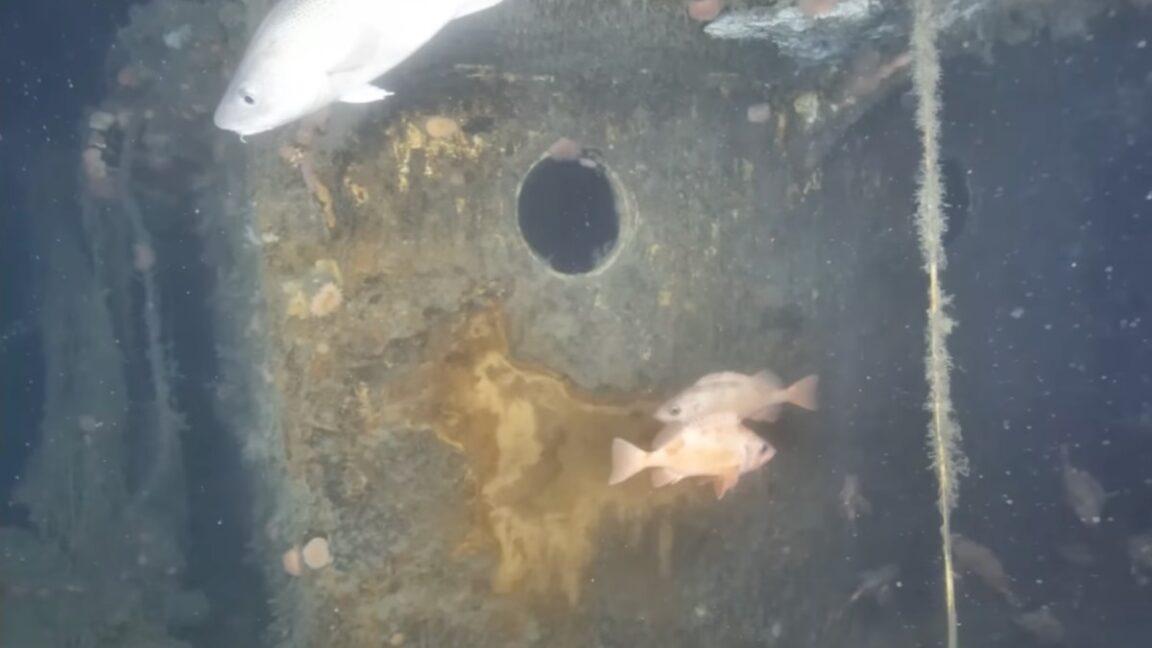
Geiger said, “At first, there was a lot of darkness, but suddenly the bow emerge[d] as you [were] going towards it. It’s incredible,” as the bow, deck, and multiple portholes remained visible.
The wreck’s main mast broke during sinking, and the seafloor around Quest has become a marine habitat with pink corals and fish including cod, wolf fish, and red fish.
The team said it is now working to survey and map the wreckage using underwater photogrammetry technology to generate a 3D digitalization for additional examinations.
Nets, mapping, and next target
The images and dives also showed damage tied to human activity, with multiple large, abandoned fishing nets covering parts of Quest and limiting the team’s ability to look at the wreck.
“Shackleton died suddenly of a heart attack aboard the Quest on January 5, 1922, at the age of 47.”
Geiger said, “There’s a lot of damage to the ship. The nets are a sad story, limiting our ability to look at the wreck,” and he added, “I think we have to take responsibility for what we are doing to our oceans; that’s a huge issue.”
Researchers plan to spend three days surveying the wreck and use underwater photogrammetry from Canadian company Voyis to build a detailed three-dimensional digital copy of the ship.
The expedition is set to continue by sailing toward Greenland to survey Terra Nova, the last ship used by Robert Falcon Scott, after Quest’s close-up imaging.
In the background of the mission, Radio-Canada said Shackleton died aboard Quest on January 5, 1922, at the age of 47, and it described the next step as returning later this year with a remotely operated underwater vehicle to photograph the vessel.