Climateupdated 1h ago2 min read
Hurricane Trudy Brings Heavy Rain, Strong Winds to Mexico’s Pacific Coast
This article is an automated aggregation of coverage from news outlets. Our editorials offer in-depth analysis curated by the NewsCord team.
Hurricane Trudy strengthened to Category 2 near Mexico’s Pacific coast, bringing heavy rain. Warnings extend from Manzanillo to Cabo Corrientes for heavy rain and potential flooding.

Anadolu Ajansı was read line by line by the Watchdog: 3.9. See the score →
Trudy nears Mexico
Hurricane Trudy brought heavy rain and strong winds to parts of Mexico's southwest and west-central regions as it tracked parallel to the country's Pacific coast.
The U.S. National Hurricane Center said Trudy was about 150 miles (240 km) west of Manzanillo with maximum sustained winds of 105 mph (165 kph), and it moved northwest at about 10 mph (17 kph).
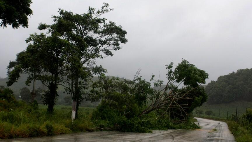
The National Hurricane Center forecast Trudy would remain near the coast through Sunday evening before weakening overnight and moving south of Baja California Sur on Monday and Tuesday.
The National Hurricane Center warned Trudy was expected to bring four to eight inches (10 to 20 cm) of rain, with isolated totals of around 12 inches, across parts of Michoacan, Colima and Jalisco.
The National Hurricane Center reiterated warnings of dangerous storm surge accompanied by damaging waves in areas exposed to onshore winds along parts of Mexico's Pacific coast.
Flooding and mudslides risk
The National Hurricane Center warned that hurricane and tropical storm conditions could materialize in areas under weather alerts Sunday morning and afternoon. The center urged people in coastal regions of Michoacán, Colima and Jalisco to prepare for potentially life-threatening flooding and mudslides as a result of the impending rain. The Mexican Navy urged mariners and coastal residents to exercise extreme caution because of high waves, heavy rain and the risk of rising rivers, flooding and landslides in vulnerable areas.
Colima authorities said the risks remained low, but warned that heavy rainfall could cause damage because the ground was already saturated by successive storms along the Pacific coast. CBS News said Trudy was expected to bring 4 to 8 inches of rain through the weekend, with isolated totals of around 12 inches along and near the coast in Michoacán, Colima and Jalisco.
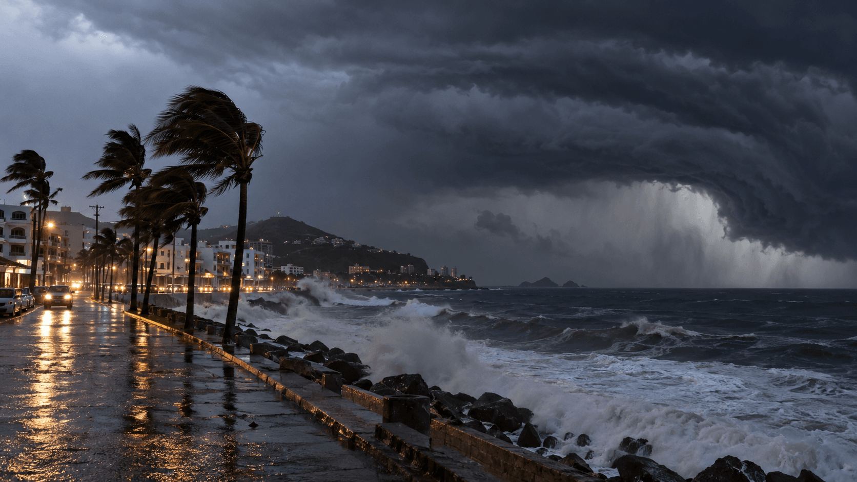
Watches, waves, and other storms
The SMN of the National Water Commission (Conagua) reported that during the early hours at 03:00 local time the center of Trudy was located approximately 215 kilometers (km) west-southwest of Manzanillo, Colima, and 165 km southwest of Playa Perula, Jalisco. The SMN said Trudy had maximum sustained winds of 165 kilometers per hour (km/h), gusts of 205 km/h, and was moving toward the northwest at 17 km/h. The SMN and the United States National Hurricane Center maintained a hurricane wind watch zone from Manzanillo, Colima, to Cabo Corrientes, Jalisco, and a hurricane wind advisory zone from Manzanillo, Colima, to Punta San Telmo, in Michoacán.
El Heraldo de México warned that the rains generated by the system could cause landslides, rises in the levels of rivers and streams, as well as floods and inundations in low-lying areas, urging residents to stay alert to SMN notices from Conagua and follow Civil Protection recommendations. Typhoon Champi passed Guam as a massive super typhoon, with sustained winds of 150 mph, and the governors of Guam and the Northern Mariana Islands requested emergency disaster declarations on Friday.