Climateupdated 13m ago3 min read
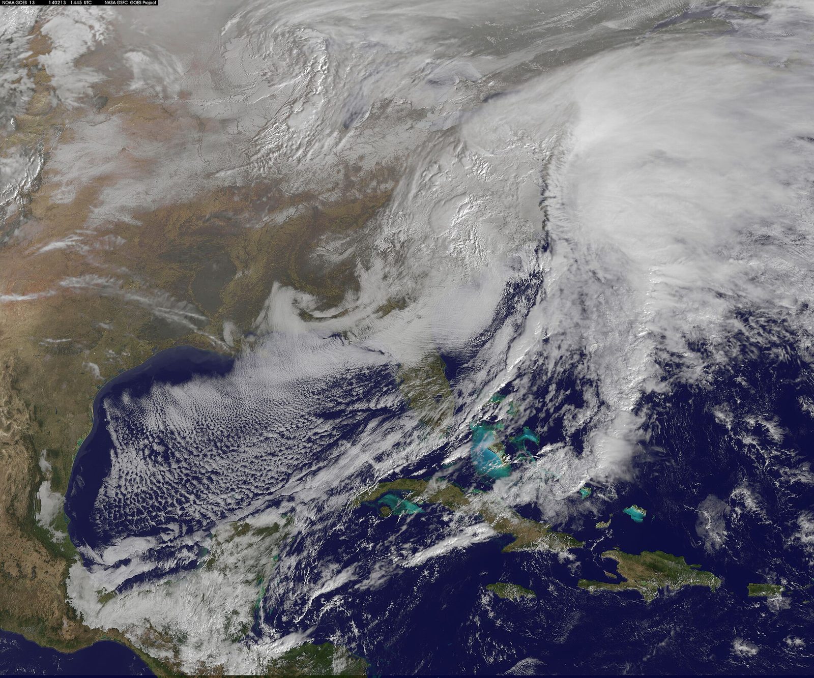
Archive photo · 13 February 2014Potential Nor’easter Could Bring Rain, Wet Snow and Winds to Northeast Late This Week
“areas right along the Interstate 95 corridor-including Philadelphia, New York City, and Boston-will likely stay too warm for snow.”
“A developing late-week nor'easter is on track to bring the Northeast its first snow of the season, alongside widespread rain and a steep drop in temperatures.”
Photo: NASA Goddard Space Flight Center from Greenbelt, MD, USA / US federal government, Public domain · Cropped for layout
This article is an automated aggregation of coverage from news outlets. Our editorials offer in-depth analysis curated by the NewsCord team.
Potential late-week nor'easter could bring heavy rain, gusty winds, and snow in parts of Northeast. First snowfall likely in Pennsylvania and West Virginia mountains and possibly interior Northeast.
Save coverage image
Nor’easter, cold plunge
A potential nor’easter could bring rain, snow and winds to the Northeast and Great Lakes late this week into the weekend, as cold air settles in for millions across the East. A deep southward plunge in the jet stream, called a trough, is expected to carve across the East late this week, and daytime highs will plummet 20 degrees from Wednesday to Friday from Chicago all the way to Atlanta. By the weekend, lows will drop to the 30s as far south as the Florida Panhandle, and a low pressure system is expected to move across the Midwest by Wednesday and strengthen as it moves into the Ohio Valley Wednesday night.
By Thursday night, another area of low pressure is expected to form off the Eastern Seaboard, with rain potentially mixing with or changing over to wet snow over parts of the interior Northeast. The best chances of accumulating snow stretch from the mountains of northern New England to upstate New York and the Appalachians, while snow is not expected for the major metropolitan areas along the I-95 corridor.
Where snow may stick
National Weather Service meteorologist Mike Lee said New Jersey could see its first taste of winter weather later this week as a potential nor’easter threatens the Northeast with heavy rain, gusty winds and possibly snow. Lee said colder air moving into the region could bring the possibility of the season’s first frost and freezing temperatures, with some areas potentially seeing snow, while he also said it was highly unlikely to see significant snowfall. FOX 29 Philadelphia said major cities along the I-95 corridor, including Washington, D.C., Philadelphia, and New York City, are expected to primarily see widespread rain, and it said accumulation is highly unlikely along the immediate I-95 corridor.
FOX 29 Philadelphia said warm ground temperatures and a lack of deep cold air will prevent snow from sticking, while it said the highest chances of accumulating snow are reserved for higher elevations where the air is noticeably colder. FOX 29 Philadelphia said the National Weather Service predicts these areas could see at least one inch of snow, while it said the exact placement of the storm and the amount of snow that may fall is still unknown.
Travel and timing risks
AccuWeather meteorologist Brandon Buckingham said a shifting weather pattern will bring a sharp turn towards cooler conditions later this week, and he said a storm later this week can bring the potential for the first snowfall of the season for many.
USA Today said the developing system is expected to spread widespread rain across the East, and it said the big cities of the Northeast and Mid-Atlantic should mainly see a cold rain from the storm.
USA Today said locations from the Great Lakes, Ohio Valley, the Appalachians and New England could face the potential for snow between Thursday (Nov. 12) and Saturday (Nov. 14) as the storm intensifies and slowly tracks through the regions.
Weather.com meteorologist Rob Shackelford said, "by Thursday [Nov. 12] night, we should start to see the first chances of snow across interior regions of the Northeast," while USA Today said conditions are expected to be too warm for the first snowflakes of the season in places like Washington, D.C., Philadelphia, New York City and Boston.
Travel Market Report said no major airline had issued any formal travel waivers as of Monday evening, and it said the storm could disrupt travel through major Northeast hubs like JFK, LaGuardia, Newark, and Boston Logan.