Climateupdated 18m ago2 min read
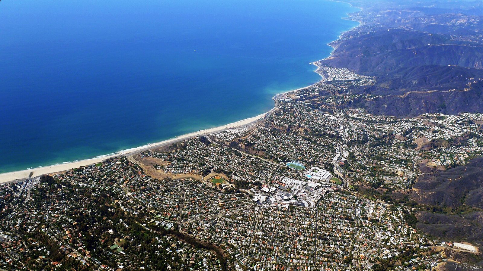
Archive photo · 15 September 2014Los Angeles Fire Department Issues Evacuation Warnings for Palisades, Hurst and Sunset Burn Scars
8 Western Mainstream1 Latin American1 Local WesternPhoto: Photograph by Don Ramey Logan, CC BY-SA 4.0 · Cropped for layout
This article is an automated aggregation of coverage from news outlets. Our editorials offer in-depth analysis curated by the NewsCord team.
Evacuation warnings issued for residents near Palisades, Hurst and Sunset burn scars. Storm expected to cause mudflows, debris flows and possible flooding in burn scar zones.
Save coverage image
CBS News was read line by line by the Watchdog: 0.0. See the score →
Evacuations for burn scars
Los Angeles Fire Department issued evacuation warnings for residents near the Palisades, Hurst and Sunset burn scar areas from 6 p.m. Wednesday until 8 a.m. Friday as a storm system moved toward Southern California.
The National Weather Service said 1 to 3 inches of rain will be common for most areas, while 3 to 5 inches will be likely for mountain and foothill communities, and forecasters warned rain rates could reach up to an inch per hour.
The Los Angeles County Sheriff's Department also issued evacuation warnings for the Eaton, Canyon and Kenneth burn scar areas, with the warnings set to go into effect at 6 p.m. on Wednesday.
Joseph Riser told Newsweek that the storm could bring "nearly six or eight hours of peak rain" and that the intensity for that shorter period of time could affect recent burns.
The National Weather Service warned that burned soil can act as a water-repellent and quickly create debris flows, or mudslides, as the flash flood watch runs Wednesday through Thursday.
Timing, wind, and rainfall
Forecasters said the heaviest rain would move into Ventura County sometime between 2 and 5 a.m. and into Los Angeles County by mid-morning, likely during the morning commute.
The National Weather Service said the storm could bring cooler fall-like conditions, with temperatures 4 to 8 degrees below normal, while maximum temperatures across the valleys and coast would be in the mid-60s and lower 70s.
The storm is expected to bring 1 to 3 inches of rainfall through Thursday, with peak rates reaching about an inch per hour, according to the National Weather Service (NWS) Los Angeles.
Rainfall rates of a half-inch per hour were expected, with higher rates of 0.75 to an inch per hour likely in pockets of the storm and across south-facing slopes.
Authorities warned residents near recent burn scars that they may need to evacuate, with the warning in place from 6 p.m. Wednesday through 8 a.m. Friday.
El Niño backdrop and next steps
Governor Gavin Newsom declared a state of emergency in September to help mobilize resources and prepare the state, and Newsom said, "I did an emergency declaration to make sure that we're prepositioning assets." The City of Los Angeles Emergency Management Department has been preparing for El Niño since March and hosting webinars in multiple languages to educate residents on how to prepare. California activated its State Operations Center to coordinate an administration-wide response to the potential heavy rain and flooding, and the Governor’s Office of Emergency Services said the state was putting more resources closer to at-risk communities ahead of the storm.
The office approves the prepositioning of local government fire department personnel and equipment, including engines and swift water rescue teams. The Weather Channel warned that flash flood watches are posted along parts of the California coast where these impacts are possible, while it said the highest rainfall totals are expected along the California coastline, where 3-6 inches are possible.