Climateupdated 57m ago2 min read
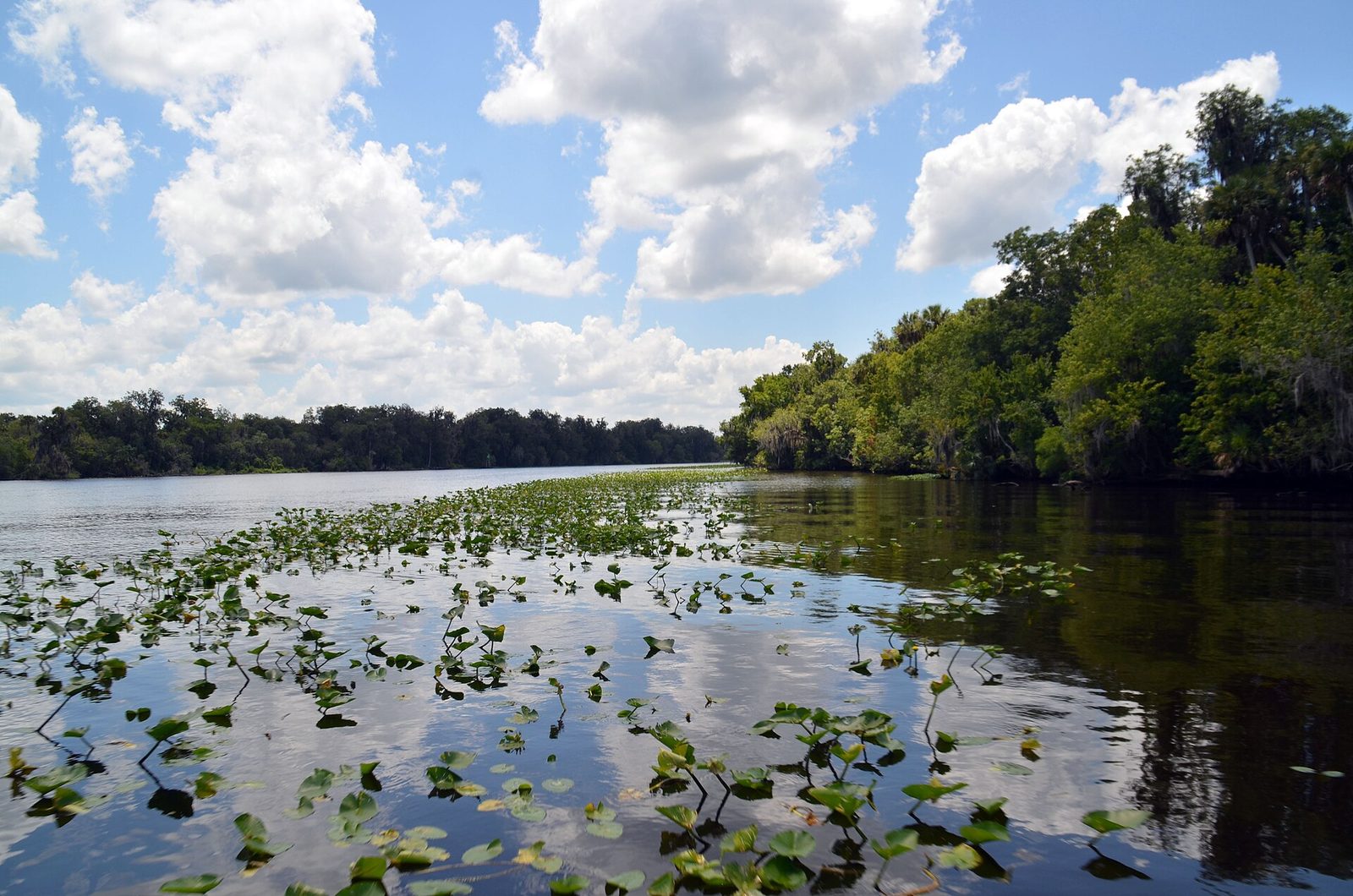
Archive photo · 17 June 2015Storms Push Central Florida Flooding Higher, St. Johns River Residents Urged to Prepare
“The state of emergency in Florida has been expanded to cover around 6.5 million more people in seven counties,”
“‘We’re so concerned with the Saint Johns River,’ said Will Ulrich, a warning coordination meteorologist in Melbourne.”
Photo: US Forest Service - Southern Region / US federal government, Public domain · Cropped for layout
This article is an automated aggregation of coverage from news outlets. Our editorials offer in-depth analysis curated by the NewsCord team.
St. Johns River surged to hazardous record highs amid widespread Space Coast flooding. Florida mobilized hundreds of National Guard and State Guard personnel to bolster emergency operations.
Save coverage image
Newsweek was read line by line by the Watchdog: 3.0. See the score →
Floods shift north
Storms and heavy rain continued to push water levels higher across central Florida even as rainfall eased, with residents along the St. Johns River urged to prepare to leave their homes.
Will Ulrich, a warning coordination meteorologist in Melbourne, said, “This is just an incredible amount of water that will cause the river to continue to rise for the next several days.”
The river near Cocoa rose Thursday above a 1953 record, and the weather service forecast the river would stay flooded through early next week.
The National Weather Service’s flood warnings and watches covered roughly 200 miles (320 kilometers) from just south of Melbourne to the Jacksonville area, and forecasters expected additional rainfall of up to 6 inches (15 centimeters) through Saturday.
Scott Kleebauer, a meteorologist with the weather service’s Weather Prediction Center in Maryland, said the low-pressure system producing the heavy rain in Florida was expected to move northeast and impact the coasts of Georgia and the Carolinas during the weekend.
Rescues, warnings, and schools
Police in the Florida Shores neighborhood of Edgewater trudged through knee-deep floodwaters Friday, pulling a small boat of people to dry ground. In Brevard County, authorities navigated flooded streets with airboats to help people a day after conducting nearly 100 high-water rescues. The National Weather Service warned that “Severe, widespread flash flooding is expected,” and it added that “lives and property (are) in great danger.”
Broward County Public Schools remained closed on Friday, November 20, and Superintendent Howard Hepburn said more than 30 educational centers suffered water damage. Hepburn said the district could not complete tasks to remove accumulated water, assess safety conditions, and repair or discard deteriorated materials in time to open on Friday.
State response and climate links
Governor Ron DeSantis said Florida’s Emergency Management Division was mobilizing staff from the National Guard and State Guard, along with more than 200 Highway Patrol (FHP) officers, 235 officers from the Fish and Wildlife Conservation Commission (FWC), 50 vehicles capable of navigating deep waters, and 60 pumps. DeSantis also said the operation included 750 work teams from the Florida Department of Transportation (FDOT), and it pre-positioned more than 6,000 feet of flood-control devices. The Florida National Guard confirmed that its personnel were already participating in water rescues with local police agencies and emergency services.
The storms were fueled by persistent high pressure over Virginia and a low-pressure system and an associated stationary front in the Gulf, which pushed a steady onshore flow across the Florida Peninsula. Alejandra García, an NWS meteorologist, said the El Niño phenomenon is “contributing to these low-pressure systems moving toward the Southeast United States, which in turn is triggering these heavy rainfall events.”