Technology and Science22 August, 20263 min read
Tropical Storm Iselle Curves Away From Mexico’s Baja California as NHC Tracks Six Pacific Threats
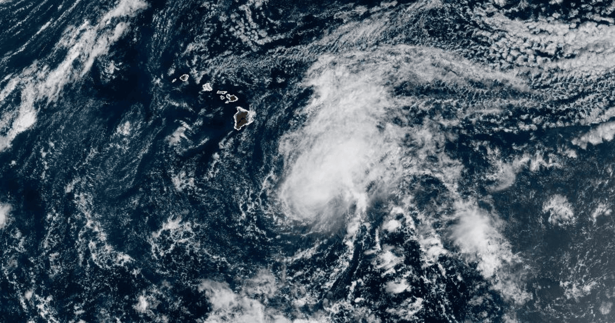
Moke weakened to tropical depression but still brings heavy rain and gusty winds to Hawaii. Center about 755 km southeast of Hilo, moving west-northwest, passing south of Big Island.
Pacific storm surge
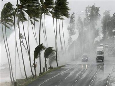
Forecasters are tracking a surge of tropical activity in the eastern and central Pacific, with Tropical Storm Iselle churning as the National Hurricane Center monitors six tropical threats across the Pacific. Newsweek said the latest spaghetti models suggest Iselle is likely to curve away from Mexico's Baja California Peninsula rather than make a direct landfall, while the NHC forecast shows a nearly identical path. As of Monday morning, Newsweek reported Tropical Storm Iselle had maximum sustained wind speeds of 60 mph and that the NHC anticipated Iselle to become a hurricane on Monday night.
“As of Monday morning, Tropical Storm Iselle had maximum sustained wind speeds of 60 mph.”
In Hawaii, CBS News reported Tropical Storm Moke weakened to a tropical depression on Sunday but was still forecast to deliver heavy rainfall and gusty winds to parts of Hawaii on Monday as it skirts just south of the island chain. CBS News also quoted Maui County Mayor Richard Bissen warning that "Recent impacts from Tropical Storm Lala mean that even light to moderate rain and wind could trigger flooding, debris, downed trees, roadway issues and power outages."
Rain, wind, and warnings
While Moke’s center was expected to pass south of the Big Island, CBS News said flooding and mudslides on the Big Island could be life-threatening, especially in steep terrain and over areas recently affected by Lala.
CBS News meteorologist Nikki Nolan said, "Flooding and mudslides on the Big Island could be life-threatening, especially in steep terrain and over areas recently affected by Lala," and the National Hurricane Center warned that rainfall may produce life-threatening flooding and mudslides.
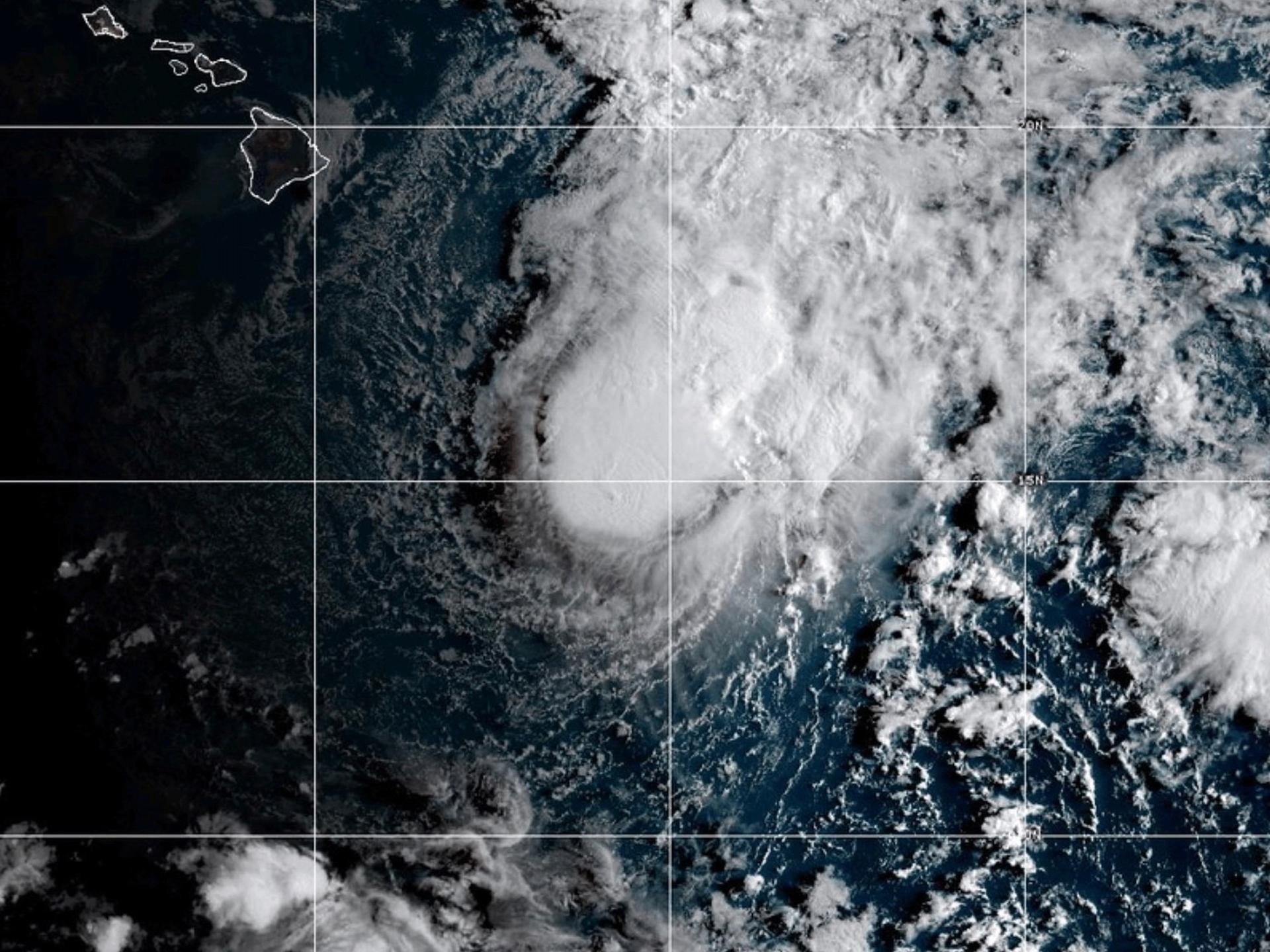
USA Today reported that meteorologists at the National Hurricane Center were tracking nine different storms and potential storms early on Monday, Aug. 24, including seven in the Pacific Ocean and two in the Atlantic Ocean.
USA Today also said gusts could reach up to 55 mph over the Big Island and 45 mph over Oahu and Kauai, with portions of the Big Island and eastern Maui forecast to receive an additional 3 to 6 inches of rain through Monday.
AccuWeather expert meteorologist Alyssa Glenny said, "Moke will not pass nearly as close as Lala did last weekend, but this is a storm that should still be taken very seriously."
Atlantic disturbances and models
Beyond the Pacific, Yale Climate Connections said the Atlantic is again showing signs of life after almost a two-week break, with Invest 95L in the central Atlantic southeast of Bermuda and another tropical wave emerging from Africa.
Yale Climate Connections reported that both disturbances were given seven-day odds of development of 50% by the National Hurricane Center in its 8 a.m. EDT Monday Tropical Weather Outlook, and that 95L is mainly moving north and is not expected to impact land.
The same source said the broad area of low pressure associated with 95L will continue to be pulled northward by a front that has exited the northeastern United States and southeastern Canada, and that it will enter cooler waters that inhibit further development.
In the Pacific, Newsweek said the NHC was tracking six additional threats in the Pacific, including two named storms and four areas of disturbance that have a chance at strengthening into tropical storms in the coming days.
Newsweek also warned that "Swells generated by Iselle are affecting the west coast of the Baja California Peninsula" and that the swells are likely to cause life-threatening surf and rip current conditions.