Climateupdated 1h ago2 min read
Archive photo · 26 March 2025Back-to-Back West Coast Storms Bring Heavy Rain, Mountain Snow, and 50-Foot Waves
4 Western Mainstream2 Local Western1 Western Alternative1 Western TabloidPhoto: JPSS imagery: CSU/CIRA & NOAA/NESDIS / US federal government, Public domain · Cropped for layout
This article is an automated aggregation of coverage from news outlets. Our editorials offer in-depth analysis curated by the NewsCord team.
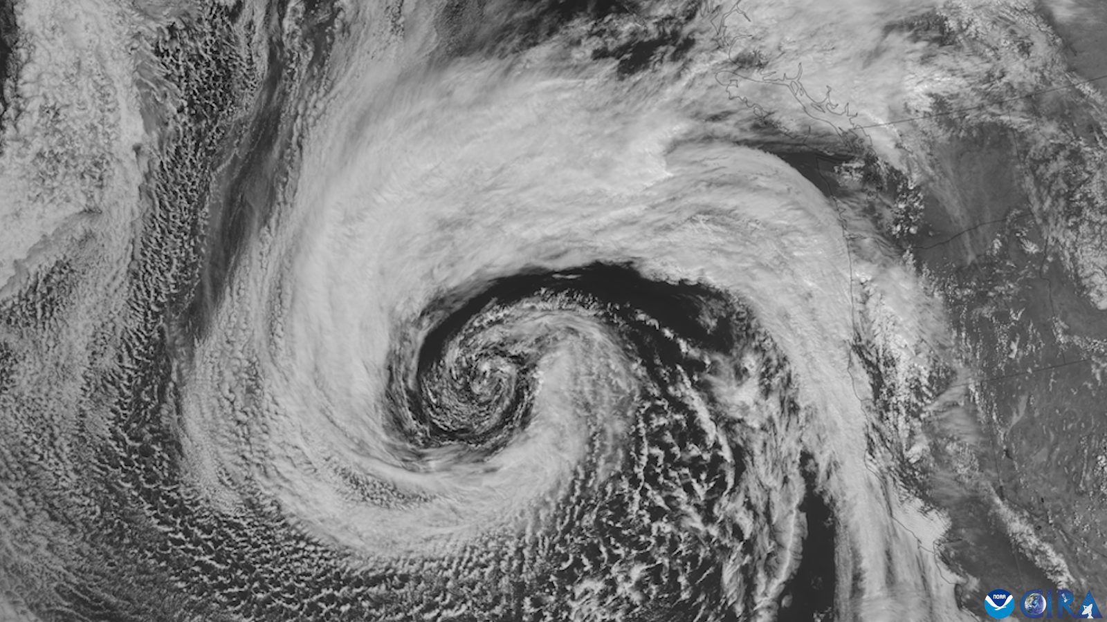
Back-to-back Pacific storms bring heavy rain and feet of mountain snow across the West. Coastal hazards include 50-plus-foot waves prompting warnings, closures and beach advisories.
Save coverage image
8 outlets in this story. Read their headlines below.
Outlets did split on El Niño’s “Risk Multiplier” Warning Looms Over COP31 as Climate Funding Lags →
The New York Times was read line by line by the Watchdog: 0.0. See the score →
Back-to-back storms hit
Back-to-back storms blasted parts of the West Coast with gusty winds, monster waves, and heavy snow as a low-pressure system moved inland from California into the Rockies. The storms, fueled by an atmospheric river, would bring widespread rain, high elevation snow, and gusty conditions, with Sunday bringing heavy rain and high elevation snow to parts of Washington, Oregon, and Northern California. Monday would shift the rain and mountain snow to the Intermountain West, with the Southern Sierra Nevada expected to see a snowfall total between 1-2 feet by the end of the day Monday.
Rainfall totals were expected to range from 3-6 inches in southern Oregon, far Northern California, in the northern Sierra Nevada foothills, and on Washington's Olympic Peninsula, while the risk of drowning in coastal waters was very high this weekend. The heaviest mountain snow of the week would arrive with a second storm, with several feet of snow possible in the higher terrain of the Sierra Nevada from midweek into late week.
Waves, surf, and warnings
Monster waves lashed the West Coast on Saturday, with waves reaching highs of 60 feet at the Mavericks surf spot in San Mateo County. Waves could be as high as 30 feet in nearshore waters, potentially breaking to 50 feet at favored spots from Northern California to the Oregon coast through early Sunday. Officials warned onlookers to stay off the beaches as waves of more than 50 feet in spots posed hazards, and it quoted Roger Gass saying, "No selfie of the crashing waves is worth losing your life."
Beachgoers across the region were urged to use extreme caution through at least early week due to long-period swells and exceptionally high surf. Waves along the coast may reach as high as 25 feet with sneaker waves carrying logs and other debris, and storm watchers were advised to be on higher ground and avoid being on a jetty.
El Niño and what next
El Niño conditions were strengthening in the Pacific as the West Coast was hit with a wall of wet weather from Seattle to San Diego Friday. The NWS Climate Prediction Center anticipated a "strong-to-very strong" El Niño between January and March of 2027, and the Climate Prediction Center stated Thursday that sea surface temperature anomalies exceeded 4 degrees celsius. There would be a break this weekend, with the next round set for around Monday, then the next around Thursday, and the risk of significant impacts and flooding with any of these storms is low.
The first storm would push into the Pacific Northwest on Sunday through Tuesday, with snow levels falling to 5,000-6,000 feet, affecting higher-elevation mountain passes. Later storm systems may increase chances of flooding, particularly near wildfire burn scars, where mudslides and debris flows become a greater threat.