Climateupdated 1h ago2 min read
MapNor’easter Brings First Fall Snow and Coldest Temperatures to Northeast
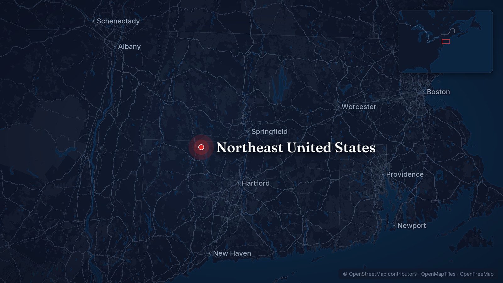
3 Western Mainstream2 Western Alternative1 Local WesternMap: © OpenStreetMap contributors, ODbL · Cropped for layout
This article is an automated aggregation of coverage from news outlets. Our editorials offer in-depth analysis curated by the NewsCord team.
Nor'easter will bring first snow of the season to parts of the Northeast and Mid-Atlantic. Coldest air of the season will accompany the storm, with temperatures 5-15 degrees below average.
Save coverage image
Nor'easter Brings First Snow
A nor’easter is set to shake up a period of relative tranquility in the Northeast, becoming the first notable storm since September’s early season nor’easter. CNN meteorologists Taylor Ward and Tyler Ory said nearly 200 million people east of the Mississippi will experience their coldest temperatures since spring as the storm ushers in the coldest temperatures in six months for tens of millions of people. The storm will develop across the Midwest Wednesday and slowly strengthen as it pushes east, with blustery and sloppy conditions expected from the Midwest to the Mid-Atlantic and into coastal parts of the Northeast later in the week.
High elevations in the Interior Northeast are likely to see their first snowfall of fall, and the lake-effect snow machine will also power on for the first time since spring in the Great Lakes. Most lower elevations, including the Interstate 95 corridor from Philadelphia to Boston, will just experience a cold rain.
Forecast Uncertainty and Timing
The Weather Channel said there is still uncertainty in the track and expected impacts from the storm as models will come into agreement later this week. By Thursday night, another area of low pressure will form off the Eastern Seaboard, and rain could be mixing with or changing over to wet snow over parts of the interior Northeast. Some model forecasts hug the low close to the coast for a time, which would bring a threat of strong wind gusts and coastal flooding at high tide to parts of the East Coast from the northern Outer Banks of North Carolina to New England.
The best chances of accumulating snow stretch from the mountains of northern New England to upstate New York and the Appalachians. With low temperatures expected to remain above freezing for the I-95 corridor, we do not expect snow for the major metropolitan areas.
Cold Snap and El Niño Context
CNN said a brief cold plunge is set in stone for anyone east of the Mississippi River, with temperatures dropping 5 to 15 degrees Fahrenheit below average. Sub-freezing temperatures are expected in parts of the Deep South overnight Friday and Saturday, and for some in the South, the first freeze may arrive right on schedule as many areas, including Atlanta and Birmingham, Alabama, typically experience it during the first half of November. Parts of central Florida, like Orlando, could dip into the 40s for the first time since March, and the cold will firmly settle in over the Midwest, from Minnesota to Ohio, preventing temperatures from climbing out of the 40s starting on Thursday and lasting through the weekend.
Above-average temperatures are expected to return next week in much of the nation’s eastern half, and the mild temperatures could be preview of what’s to come in a winter dominated by Super El Niño. NOAA's Climate Prediction Center forecast temperatures are forecast to return to above-average levels by next week, and the nation is forecast to see one of its top 10 warmest Novembers on record.