Climate17 November, 20262 min read
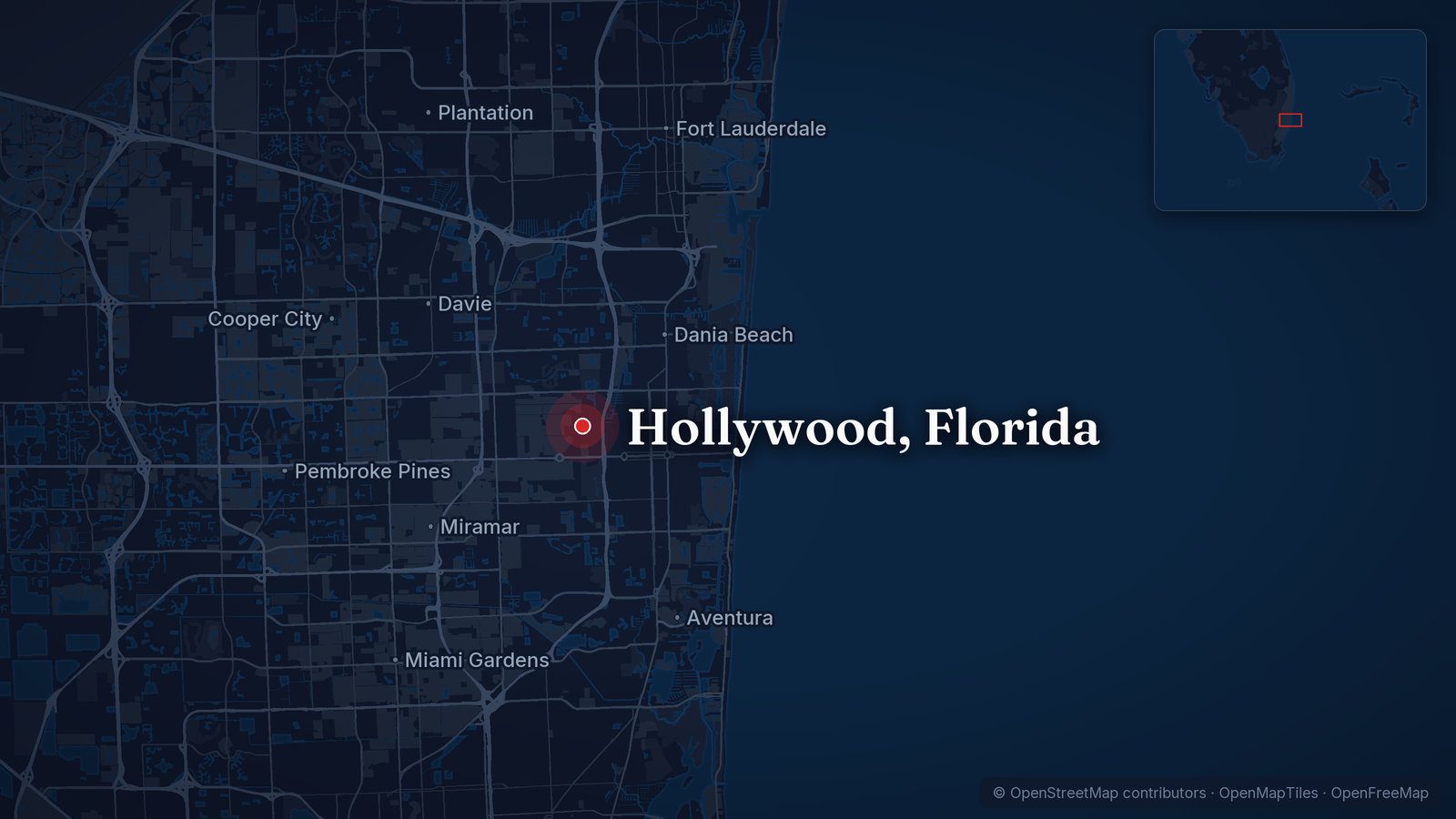
MapSevere Flooding Strands Drivers, Forces Rescues in Hollywood and Broward County, Florida
“Extreme rainfall like this is becoming more frequent as the world warms due to fossil fuel pollution.”
“Never drive through flooded roads.”
Map: © OpenStreetMap contributors, ODbL · Cropped for layout
This article is an automated aggregation of coverage from news outlets. Our editorials offer in-depth analysis curated by the NewsCord team.
Severe floods across Florida's Atlantic coast with Broward County receiving the worst rainfall. Central Florida faces increasing flood threat as more rain arrives.
Save coverage image
CNN was read line by line by the Watchdog: 0.0. See the score →
Shared framing
These headlines largely converge on an interpretation of worsening flood risk, not just bad weather. A secondary emphasis is that more rain is still arriving, extending the sense of ongoing danger.
3 of 4 outlets · 3 of 4 headlines analysed
- Orlando Sentinel
still facing heavy rain threats, flood warnings
- WKMG
heavy rain and flooding threat increase
- WESH
Flood threat grows
See the headlines
Escalating flood threat
Several headlines emphasise worsening or continuing risk rather than only describing rain, foregrounding a growing or persistent flood threat.
- Orlando SentinelReporting · OngoingCentral Florida still facing heavy rain threats, flood warnings
- WKMGReporting · Before resultFlood watch begins as heavy rain and flooding threat increase across Central Florida
- WESHReporting · OngoingFlood threat grows across Central Florida as additional inches of rain move in
Other angles in this collection
More rain still to come
2 outlets · 2 headlines
Some headlines stress that additional rainfall is expected, framing the situation as ongoing and likely to worsen rather than already past.
- CNNReporting · OngoingSevere flooding hits parts of coastal Florida from over a foot of rain … and a lot more is incoming
- WESHReporting · OngoingFlood threat grows across Central Florida as additional inches of rain move in
All 4 analysed headlines
- CNNReporting · OngoingSevere flooding hits parts of coastal Florida from over a foot of rain … and a lot more is incoming
- Orlando SentinelReporting · OngoingCentral Florida still facing heavy rain threats, flood warnings
- WKMGReporting · Before resultFlood watch begins as heavy rain and flooding threat increase across Central Florida
- WESHReporting · OngoingFlood threat grows across Central Florida as additional inches of rain move in
Counts describe this collection. One headline may support more than one angle.
Analysed 18 Nov 2026.
Reviewed by Codex validator (AI) · 18 Nov 2026
Foot of rain, rescues
Torrential rainfall and severe flooding shut down roads, gushed into homes, and forced high-water rescues in southeast Florida overnight as a multiday flood threat unfolded along the state’s Atlantic coast. Parts of the northern Miami metro area, including Broward County, suffered the most significant rainfall, and over a foot of rain, more than three Novembers’ worth, fell in mere hours in the Hollywood area. Hollywood’s mayor declared a state of emergency and urged residents to shelter in place as the torrent closed parts of Interstate 95 and Florida’s Turnpike.
First responders received more than 300 calls for service between 11 p.m. and 4 a.m., the Hollywood Police Department said, and high-water vehicles were still deployed late Wednesday morning. The ferocious rainfall caused the roof to collapse at the Temple Sinai in Hollywood, police said, and no injuries were reported.
Flood risk and totals
A flood watch will go into effect later today across much of East Central Florida as repeated rounds of showers and downpours are expected through the end of the week. Wednesday was shaping up to be a particularly concerning day for flooding, and the Weather Prediction Center had placed East Central Florida under a Marginal to Slight Risk for excessive rainfall each day. Much of the coast was also under a Moderate Risk on Wednesday, Level 3 out of 4, highlighting the potential for more significant rainfall and flooding.
Rainfall totals could reach 3 to 6 inches or more across parts of the interior through late week, while the coast could see even higher amounts with isolated totals of 8 to 12 inches or more possible where repeated rain bands developed. Florida’s eastern coast faced three consecutive days of a Level 3 out of 4 flood risk through Friday, and a widespread 3 to 6 inches of rain was expected to fall across eastern Florida through Friday.
More rain, travel threat
More flash flooding was possible in southeast Florida over the next few days, but the biggest area of concern would shift north and include parts of the Space Coast that were inundated with historic rainfall and severe flooding earlier this month. Some rivers were still high in those areas and vulnerable to flooding from the additional rain, and winds blowing onshore and high surf would pound the Florida coast in coming days, producing dangerous rip currents and potentially major beach erosion. The storm would linger off the Southeast coast until Saturday, when it would begin to push farther north, and the East Coast impacts into early next week would depend on its path.
Two favored scenarios for where the storm would go after Florida were outlined, and Scenario 1 would bring a sloppy mix of rain, wind and possibly coastal flooding as the storm tracks near or into the Southeast coast this weekend and then darts into the Northeast by Monday. The flood watch was expected to continue through Friday evening, and coastal and marine conditions would remain hazardous even as rain chances decreased.