Technology and Science31 August, 20263 min read
Tropical Disturbance Off Baja California Could Become Hurricane, Threatening Southern California This Week
This article is an automated aggregation of coverage from news outlets. Our editorials offer in-depth analysis curated by the NewsCord team.
Tropical disturbance off Baja California could become a hurricane later this week. NHC designated EP95 and forecasts suggest potential threat to Southern California.
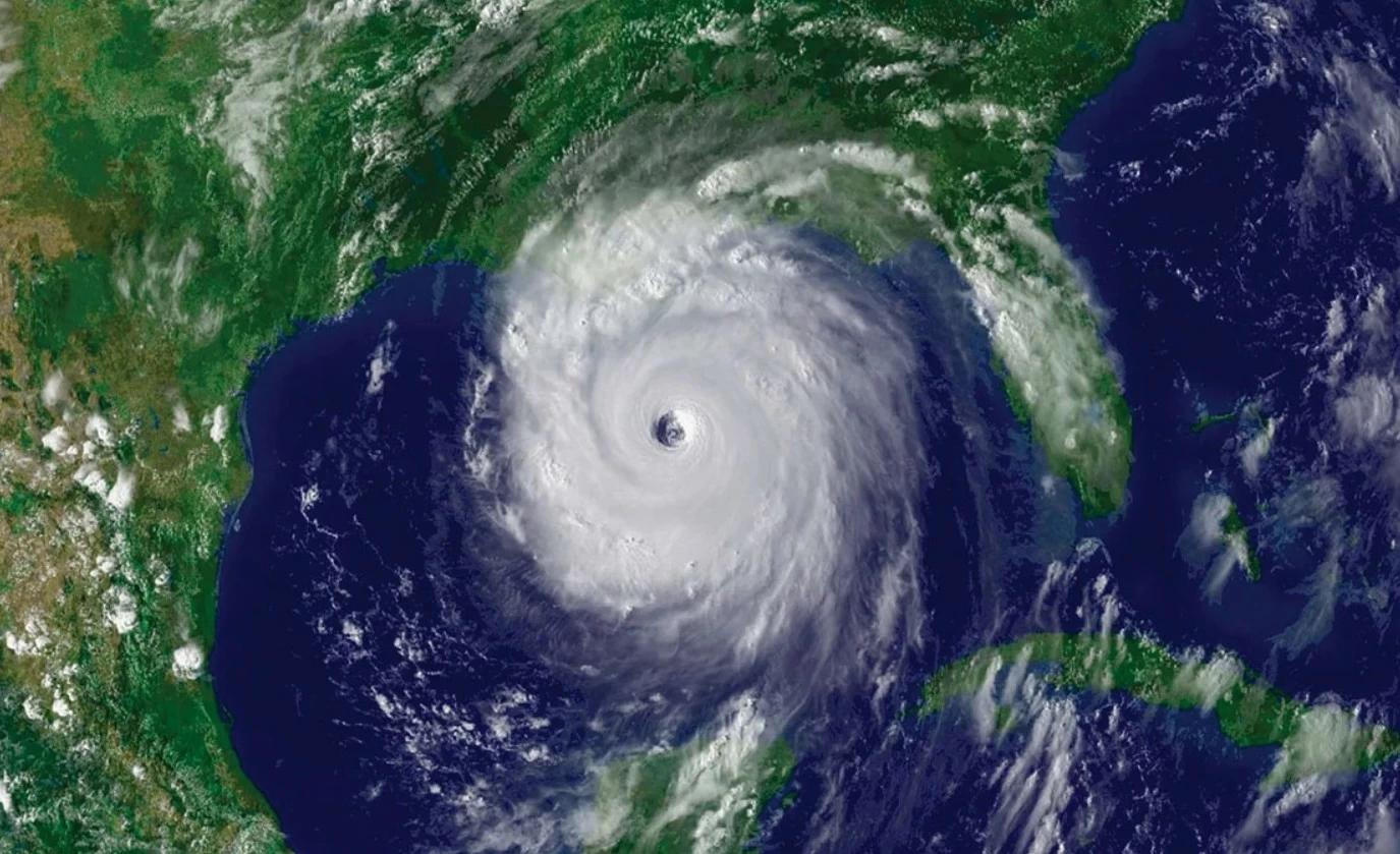
Pacific system edges toward risk
A tropical disturbance forming off the coast of Baja California could develop into a hurricane by next week, meteorologists told KTLA, with KTLA weatherman Kaj Goldberg saying the eye has a strong chance of forming off Baja California by Thursday. KTLA reported that National Weather Service Meteorologist Bryan Lewis said the National Hurricane Center predicts an 80% chance of a tropical depression with wind speeds below 38 mph forming in the area within the next 48 hours, and a 90% chance in the next seven days. Lewis told KTLA 5 News that the difference between a tropical storm and a hurricane is wind speed, with a tropical storm having wind speeds of 39 to 74 mph and a hurricane having wind speeds greater than 74 mph.
KTLA said the storm could develop into a hurricane by Friday or Saturday, then weaken by Saturday night or early Sunday morning and reach landfall in Southern California as a tropical storm, potentially bringing heavy rain and extreme humidity that could cause flooding. The Times of India added that the system designated EP95 had a 90% chance of becoming a tropical depression within 48 hours, and that the NHC had not yet issued an official track or intensity forecast for EP95.

Category 3 hurricanes offshore
While the Southern California-bound scenario remained model-based, multiple outlets described a separate Pacific hurricane intensifying to Category 3, with Masrawy saying Hurricane Katrina strengthened to Category 3 and that the U.S. National Hurricane Center said its maximum sustained winds reached 125 mph (about 205 km/h).
Masrawy reported that Katrina’s center was located about 1,545 kilometers west-southwest of the southern tip of the Baja California peninsula in Mexico, and that forecasts indicated it would continue moving farther into the Pacific, reducing the likelihood of direct landfall.

شبكة دال similarly said Hurricane Karina became a large Category 3 hurricane and that the U.S. National Hurricane Center said its winds increased to a maximum sustained speed of 125 mph (about 205 km/h).
شبكة دال reported that Karina’s center was approximately 1,545 kilometers west-northwest of the southern tip of the Baja California Peninsula in Mexico, and that authorities issued warnings about dangerous waves and strong rip currents along parts of the southwestern coast of Mexico and the Baja California Peninsula.
عكاظ put the offshore position at about 960 miles, equivalent to 1,545 kilometers, southwest of the Baja California Peninsula in Mexico, while warning of dangerous waves along the southwestern coast of Mexico and the Baja California Peninsula.
Marine heat and uncertainty
KTLA linked the potential storm’s development to a “super” El Niño brewing in the Pacific Ocean, saying the climate pattern creates warmer ocean temperatures in the Eastern Pacific and that the El Niño is currently causing a marine heat wave. KTLA reported that Southern California was seeing sea surface temperatures 5 to 10 degrees above normal for this time of year, and that ocean temperatures were at 74 to 76 degrees across Los Angeles County beaches. The Times of India said the NWS was more cautious about potential impacts, with Lewis telling the Los Angeles Times that there was still a high degree of uncertainty over whether the developing system would bring rain to Southern California, while higher surf and stronger rip currents were more likely over the Labor Day weekend.
The Times of India also said the NHC’s final analysis found that Hilary lost its tropical characteristics over northern Baja California and became post-tropical before moving into Southern California, but still brought significant rainfall and flooding to the region. KTLA reported that it’s rare for tropical storms to make landfall in California and that the last tropical storm to make landfall in the region was in 1939, while also noting that several tropical systems have weakened below tropical storm strength before making landfall.