Climateupdated 8m ago3 min read
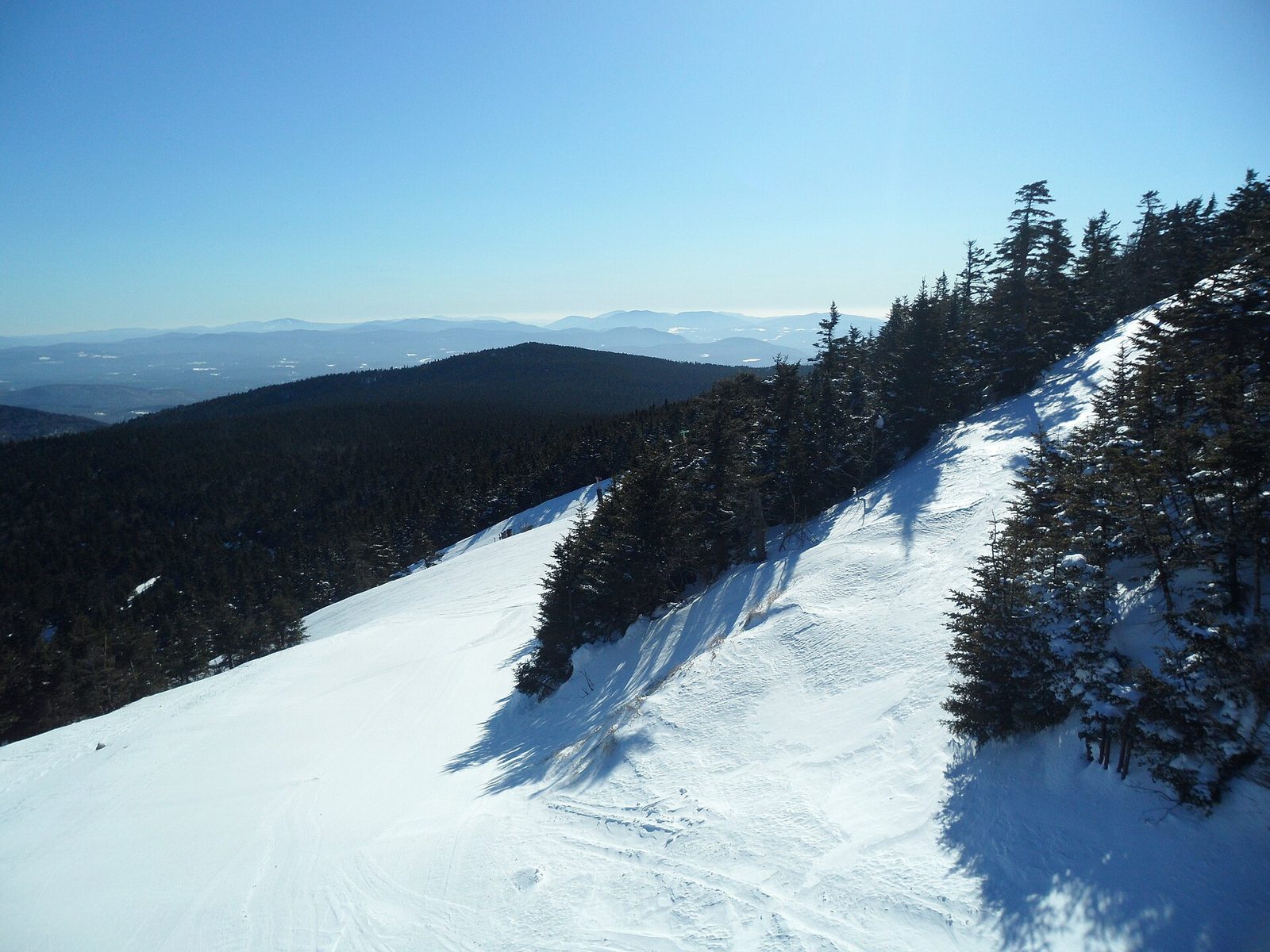
Archive photo · 22 February 2011Developing Nor’easter Expected To Bring Rain And Wet Snow Across New England
“Most valleys and low elevations of New England will not see snow.”
“at least a few flakes of wet snow, at times, in other Great Lake snowbelts as far south as northern Indiana”
Photo: EgorovaSvetlana, CC BY-SA 4.0 · Cropped for layout
This article is an automated aggregation of coverage from news outlets. Our editorials offer in-depth analysis curated by the NewsCord team.
Developing nor'easter brings rain to New England, with snow in higher elevations. Most valleys will see rain; snow accumulation likely only in northern high terrain.
Save coverage image
CNN was read line by line by the Watchdog: 0.0. See the score →
Nor’easter and first snow
A developing nor’easter is expected to bring a mix of rain and high-elevation snow to New England late this week, with rain forecast for New England by Thursday as the storm moves from the Great Lakes to the Atlantic coast. The best chance of accumulating wet snow is in the Green and White Mountains of Vermont and New Hampshire, the Berkshires of western Massachusetts, the Adirondacks and Catskills of upstate New York, and the Appalachians from West Virginia to western North Carolina and eastern Tennessee. The storm will become a nor’easter when it reaches the Northeast coast and nearly 200 million people east of the Mississippi will experience their coldest temperatures since spring.
“0.5 to 2 inches of rainfall is expected across the region.”
ABC News said 0.5 to 2 inches of rainfall is expected across the region, while wet snow accumulations are possible in higher elevations of New England Thursday night and Friday. The Boston Globe said Greater Boston should end up with about a half inch of cold, windswept rain, and it said the odds of anything sticking, like along I-95 and I-495, are close to zero.
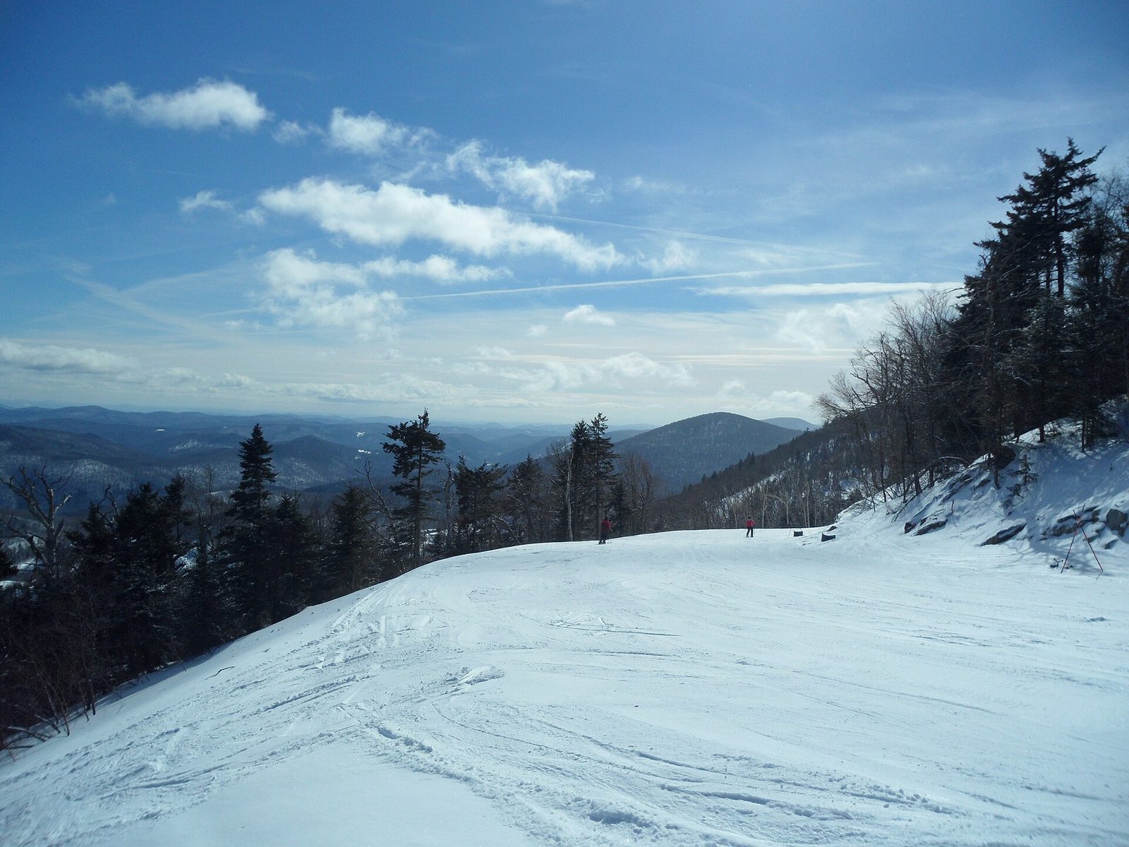
Where snow may stick
The best chance of accumulating wet snow will be in hills and mountain locations of the interior Northeast and some Great Lake snowbelt locations, including the Green and White Mountains of Vermont and New Hampshire. ABC News said most valleys and low elevations of New England will not see snow, and it said any that do will only see slushy accumulations. CNN said higher elevations in the Interior Northeast are likely to experience their first snowfall of fall, and it said New York’s Adirondack Mountains and Vermont’s Green Mountains have the best shot at picking up more substantial snow, with totals ranging from 2 to 6 inches.
The Weather Channel said any snow that falls on pavement may melt, and it said the storm will move out Saturday and Sunday and leave dry conditions to start the new week. USA Today said the big cities of the Northeast and Mid-Atlantic should mainly see a cold rain from the storm, while it said conditions are expected to be too warm for the first snowflakes of the season in places like Washington, D.C., Philadelphia, New York City and Boston.
Cold plunge and impacts
CNN said a brief cold plunge is set in stone behind the storm for anyone east of the Mississippi River, and it said many areas will see their coldest weather since last spring as temperatures drop 5 to 15 degrees Fahrenheit below average.
The Weather Channel said chillier air will be pulled southward beginning Thursday, and it said by this weekend the first freeze of the season could happen as far south as much of the Carolinas, northern and central Georgia and northern and central Alabama.
ABC News said the coastal storm combined with a full moon could lead to minor coastal flooding during high tide Friday and Saturday, and it said major coastal flooding is not expected.
FOX Weather said a nor’easter is expected to develop toward the end of the week and lash the Interstate 95 corridor with widespread rain, while delivering the first significant snow to northern Pennsylvania, Upstate New York and northern New England.
USA Today said NOAA’s Weather Prediction Center forecast that highs will likely be about 5-15 degrees below average for Friday [Nov. 13] and Saturday [Nov. 14] from the Southeast U.S. to the Mid-Atlantic and central Appalachians, making it feel more like December.